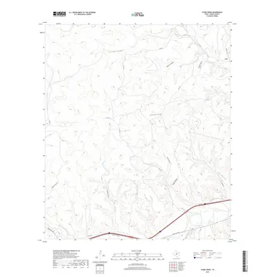
2019 Map of Stark Creek
USGS Topo · Published 2019About this map
The small community of Cleo sits at the northeastern edge of this Kimble County landscape, positioned where Ranch RD 2291 meets the waters of W Bear Cr. The terrain is defined by an intricate network of seasonal drainage systems and canyons that carve through the Edwards Plateau, including the prominent Earwood Draw and Walnut Canyon. To the south, the corridor of Ranch RD 1674 and the I 10 SVC RD follows the path of Calf Cr, providing a vital transit route through this deeply dissected ranching country.
Find a feature on this map
29 named features on this map. Tap any name to fly to it.
Don’t see what you’re looking for? This feature index may not catch every label — zoom into the map to look around manually.
Map Details
Editions of this 2019 Stark Creek Map
This is the sole edition of this map. No revisions or reprints were ever made.
Other maps of this area

1893 · Rock Springs
USGS Topo · 1:125,000

1893 · Fort McKavett
USGS Topo · 1:125,000

1932 · Junction
USGS Topo · 1:62,500

1954 · Llano
USGS Topo · 1:250,000

1954 · Sonora
USGS Topo · 1:250,000

1955 · Llano
USGS Topo · 1:250,000

1956 · Llano
USGS Topo · 1:250,000

1958 · Sonora
USGS Topo · 1:250,000

1962 · Roosevelt
USGS Topo · 1:24,000

1963 · McKegan Draw
USGS Topo · 1:24,000