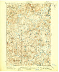
1923 Map of Stark
USGS Topo · Published 1929About this map
Raquette River and its dramatic Stark Falls dominate the eastern edge of this northern wilderness during the early 1920s. The landscape reflects a mix of remote industrial activity and elite recreational retreats, characterized by numerous private clubs such as the Hollywood Club, Mussawepie Club, and Stillwater Club. Logging and local industry are evidenced by Gleasons Mill and the Stone Dam on the Middle Branch Grass River.
Find a feature on this map
111 named features on this map. Tap any name to fly to it.
Don’t see what you’re looking for? This feature index may not catch every label — zoom into the map to look around manually.
Map Details
Editions of this 1923 Stark Map
4 editions found

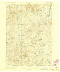
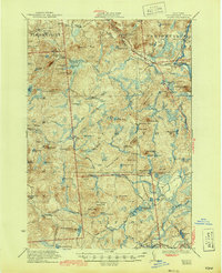
Other maps of this area

1907 · Tupper Lake
USGS Topo · 1:62,500

1908 · Potsdam
USGS Topo · 1:62,500

1910 · Canton
USGS Topo · 1:62,500

1911 · Canton
USGS Topo · 1:62,500

1915 · Russell
USGS Topo · 1:62,500

1916 · Oswegatchie
USGS Topo · 1:62,500

1918 · Russell
USGS Topo · 1:62,500

1918 · Oswegatchie
USGS Topo · 1:62,500

1919 · Nicholville
USGS Topo · 1:62,500

1919 · Cranberry Lake
USGS Topo · 1:62,500