
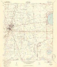
1949 Map of Starke
USGS Topo · Published 1953About this map
Starke serves as the focal point of this late 1940s landscape, showing the town's grid and development where the Seaboard Air Line railroad corridors intersect the local road network. To the east, the shoreline of Kingsley Lake is developed with Kingsley Village, contrasting with the more industrial and military character found further south. The map documents a significant extractive footprint at the Trail Ridge Mine and tactical areas including a Mobile Target Range near the border of Bradford and Clay counties.
Find a feature on this map
20 named features on this map. Tap any name to fly to it.
Don’t see what you’re looking for? This feature index may not catch every label — zoom into the map to look around manually.
Map Details
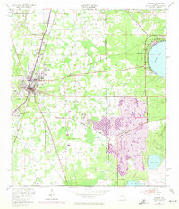
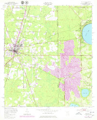
Editions of this 1949 Starke Map
4 editions found
Other maps of this area

1918 · Middleburg
USGS Topo · 1:62,500

1918 · Lawtey
USGS Topo · 1:62,500

1941 · Starke
USGS Topo · 1:62,500

1941 · Middleburg
USGS Topo · 1:62,500

1942 · Ates Creek
USGS Topo · 1:62,500

1948 · Starke
USGS Topo · 1:50,000

1948 · Jacksonville
USGS Topo · 1:250,000

1949 · Middleburg SW
USGS Topo · 1:24,000

1949 · Sampson
USGS Topo · 1:24,000

1949 · Gold Head Branch
USGS Topo · 1:24,000