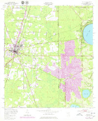
1949 Map of Starke
USGS Topo · Published 1978About this map
Starke serves as the focal point of this North Florida survey, showing the city's growth along the Seaboard Coast Line and its proximity to the vast military training grounds to the east. The landscape is defined by its transition from the settled residential blocks of Lincoln City and the Trailer Park to the managed wilderness of the Camp Blanding Wildlife Management Area. Local genealogy is anchored by numerous rural assembly points, including Bethel Ch, New Hope Ch, and Boat Drain Ch, which dot the pine-heavy terrain.
Find a feature on this map
22 named features on this map. Tap any name to fly to it.
Don’t see what you’re looking for? This feature index may not catch every label — zoom into the map to look around manually.
Map Details
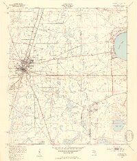
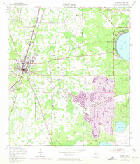
Editions of this 1949 Starke Map
4 editions found

Other maps of this area

1918 · Middleburg
USGS Topo · 1:62,500

1918 · Lawtey
USGS Topo · 1:62,500

1941 · Starke
USGS Topo · 1:62,500

1941 · Middleburg
USGS Topo · 1:62,500

1942 · Ates Creek
USGS Topo · 1:62,500

1948 · Starke
USGS Topo · 1:50,000

1948 · Jacksonville
USGS Topo · 1:250,000

1949 · Middleburg SW
USGS Topo · 1:24,000

1949 · Sampson
USGS Topo · 1:24,000

1949 · Gold Head Branch
USGS Topo · 1:24,000