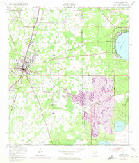
1949 Map of Starke
USGS Topo · Published 1972About this map
The railroad town of Starke serves as the central hub of this mid-century survey, situated at the intersection of critical transit corridors in Bradford County. The Seaboard Coast Line railroad dictates the local geography, cutting a straight path through the landscape and supporting the growth of nearby Lincoln City and Kingsley Village. The rural character of the area is emphasized by a cluster of country churches that served as local community anchors, including Nebo Ch, Bethel Ch, and New Hope Ch.
Find a feature on this map
17 named features on this map. Tap any name to fly to it.
Don’t see what you’re looking for? This feature index may not catch every label — zoom into the map to look around manually.
Map Details
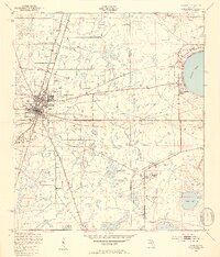
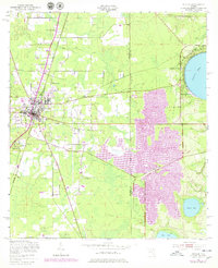
Editions of this 1949 Starke Map
4 editions found

Other maps of this area

1918 · Middleburg
USGS Topo · 1:62,500

1918 · Lawtey
USGS Topo · 1:62,500

1941 · Starke
USGS Topo · 1:62,500

1941 · Middleburg
USGS Topo · 1:62,500

1942 · Ates Creek
USGS Topo · 1:62,500

1948 · Starke
USGS Topo · 1:50,000

1948 · Jacksonville
USGS Topo · 1:250,000

1949 · Middleburg SW
USGS Topo · 1:24,000

1949 · Sampson
USGS Topo · 1:24,000

1949 · Gold Head Branch
USGS Topo · 1:24,000