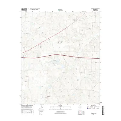
2016 Map of Starrville
USGS Topo · Published 2016About this map
The community of Starrville serves as a primary landmark in this section of Smith County, situated near the intersection of FM 16 E and FM 757. The landscape is characterized by a series of small settlements including Midway and Browning, connected by a network of farm roads and county lanes. The presence of numerous family and community burial grounds, such as Pinkston Cem, Friendship Alsup Cem, and Old Hopewell Cem, highlights the deep-rooted local history and genealogical significance of the area.
Find a feature on this map
69 named features on this map. Tap any name to fly to it.
Don’t see what you’re looking for? This feature index may not catch every label — zoom into the map to look around manually.
Map Details
Editions of this 2016 Starrville Map
This is the sole edition of this map. No revisions or reprints were ever made.
Other maps of this area

1936 · Kilgore
USGS Topo · 1:48,000

1938 · Winona
USGS Topo · 1:48,000

1940 · Kilgore
USGS Topo · 1:62,500

1943 · Winona
USGS Topo · 1:62,500

1956 · Tyler
USGS Topo · 1:250,000

1960 · Hawkins
USGS Topo · 1:24,000

1960 · Big Sandy
USGS Topo · 1:24,000

1960 · Gladewater
USGS Topo · 1:24,000

1966 · Hope Pond
USGS Topo · 1:24,000
1966 · Starrville
USGS Topo · 1:24,000