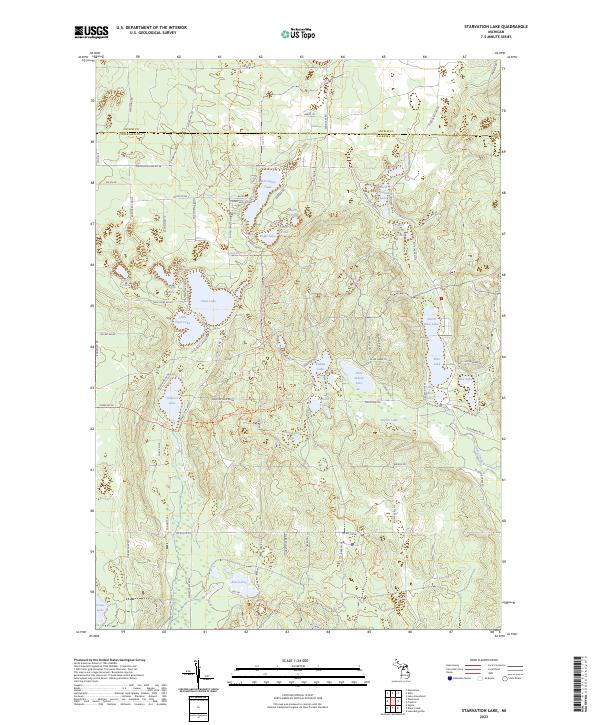
2023 Map of Starvation Lake
USGS Topo · Published 2023About this map
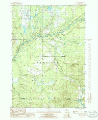
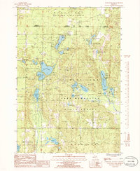
Starvation Lake and a dense cluster of glacial kettle lakes define this portion of the Michigan glacial plateau, located along the border of Antrim and Kalkaska counties. The landscape is characterized by its high concentration of named water bodies, including Oxbow Lake, Indian Lake, and Pickerel Lake, which are interconnected by a network of local roads and recreational paths. The North Country National Scenic Trail winds through the central and western sections, providing a continuous pedestrian corridor through the timbered terrain. This survey illustrates the modern residential and recreational development surrounding these lakes, with many smaller bodies of water like Papoose Lake and Deadmans Lake remaining less developed. The drainage patterns of the region are represented by Goose Creek, which flows through the southeastern corner, while the surrounding hills are accessed by roads named for local residents and geographic features, such as Cinder Hill Rd NE and Blue Lake Rd NE.
Find a feature on this map
88 named features on this map. Tap any name to fly to it.
Don’t see what you’re looking for? This feature index may not catch every label — zoom into the map to look around manually.
Map Details
Editions of this 2023 Starvation Lake Map
This is the sole edition of this map. No revisions or reprints were ever made.
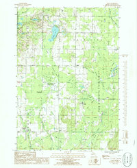
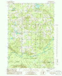
Historical Maps of Antrim County Through Time
19 maps found
1949 Black Creek
Kalkaska County, MI

1949 Fletcher
Kalkaska County, MI
1950 Fletcher
Kalkaska County, MI

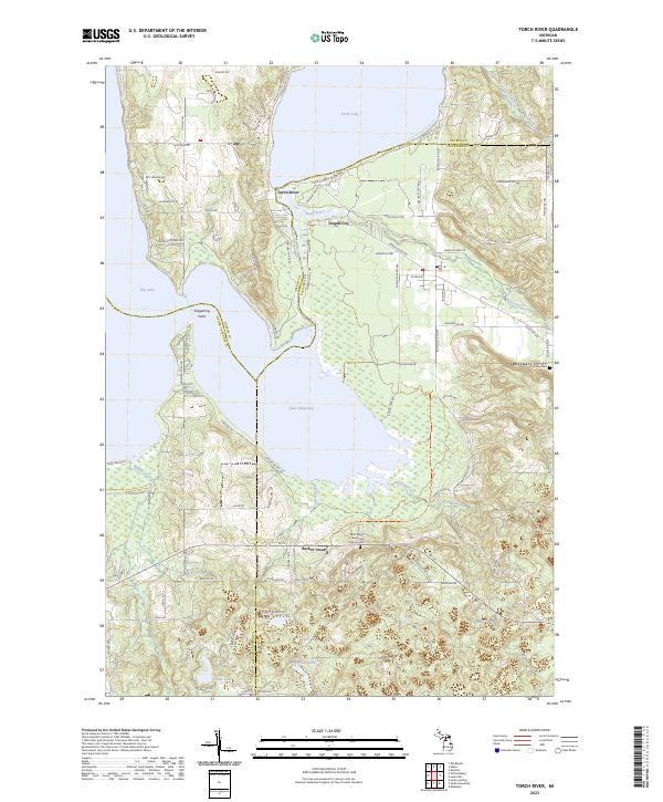
1983 Torch River
Kalkaska County, MI
1985 Leetsville
Kalkaska County, MI
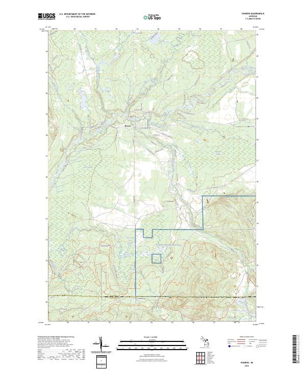
1985 Sharon
Kalkaska County, MI
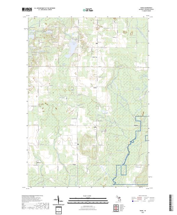
1985 Sigma
Kalkaska County, MI
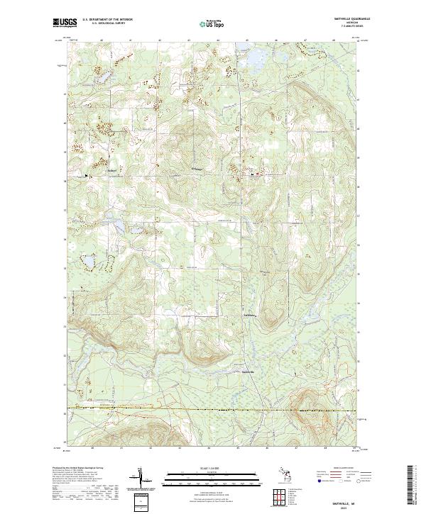
1985 Smithville
Kalkaska County, MI
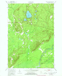
1985 Starvation Lake
Kalkaska County, MI
1985 Westwood
Kalkaska County, MI
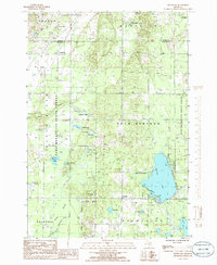
2023 Black Creek
Kalkaska County, MI
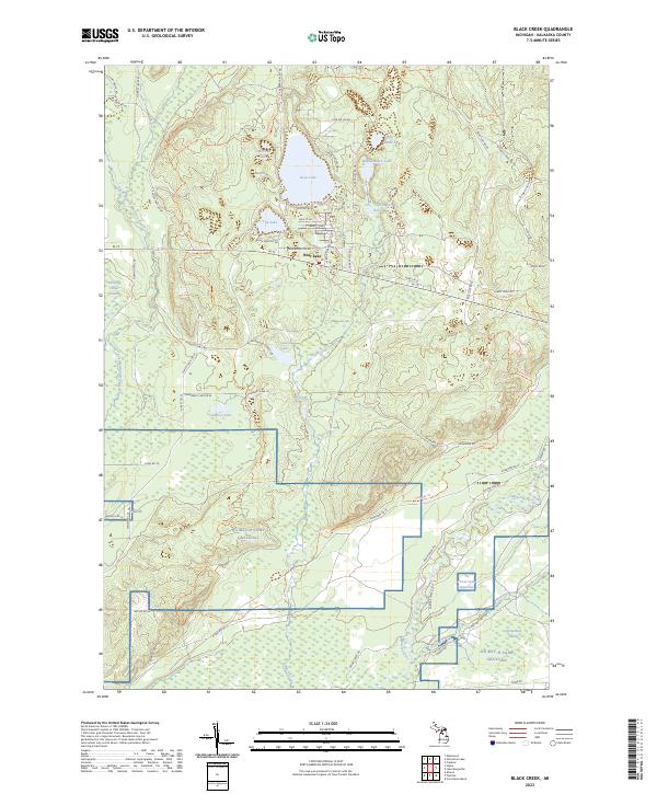
2023 Fletcher
Kalkaska County, MI
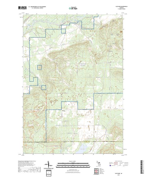
2023 Leetsville
Kalkaska County, MI
2023 Sharon
Kalkaska County, MI
2023 Sigma
Kalkaska County, MI
2023 Smithville
Kalkaska County, MI
2023 Starvation Lake
Kalkaska County, MI
2023 Torch River
Kalkaska County, MI
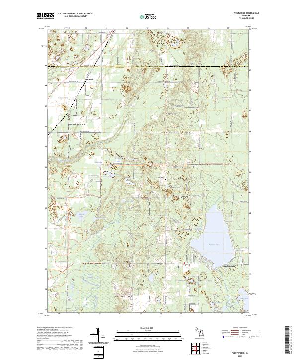
2023 Westwood
Kalkaska County, MI
Featured Locations
- Mancelona Township, MI
- Bear Lake Township, MI
- Blue Lake Township, MI
- Coldsprings Township, MI
- Excelsior Township, MI