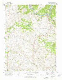
1972 Map of State Bridge
USGS Topo · Published 1975About this map
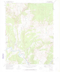
Colorado River corridors and high-country terrain define this 1970s survey of Eagle County. The Denver and Rio Grande Western railroad tracks follow the river's path, connecting the mountain settlements of Bond, Orestod, and State Bridge. This area serves as a critical transportation junction where rail lines and roads converge near the northern edge of the White River National Forest.
Find a feature on this map
25 named features on this map. Tap any name to fly to it.
Don’t see what you’re looking for? This feature index may not catch every label — zoom into the map to look around manually.
Map Details
Editions of this 1972 State Bridge Map
4 editions found
Other maps of this area

1957 · Leadville
USGS Topo · 1:250,000

1959 · Leadville
USGS Topo · 1:250,000

1960 · Leadville
USGS Topo · 1:250,000

1962 · Leadville
USGS Topo · 1:250,000

1962 · Wolcott
USGS Topo · 1:24,000

1962 · Eagle
USGS Topo · 1:24,000

1962 · Edwards
USGS Topo · 1:24,000

1964 · Leadville
USGS Topo · 1:250,000
1972 · Mc Coy
USGS Topo · 1:24,000

1972 · Blue Hill
USGS Topo · 1:24,000