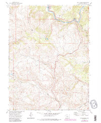
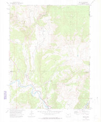
1972 Map of State Bridge
USGS Topo · Published 1988About this map
The Colorado River winds through the northern portion of this Eagle County landscape, creating a vital corridor for the Denver and Rio Grande Western railroad. This rail route anchors the small settlements of Bond and State Bridge, which serve as the primary human outposts in an otherwise demanding environment of high peaks and steep gulches. A single Grave is marked near the riverbanks northeast of Bond, offering a rare and specific genealogical detail for local historians.
Find a feature on this map
27 named features on this map. Tap any name to fly to it.
Don’t see what you’re looking for? This feature index may not catch every label — zoom into the map to look around manually.
Map Details
Editions of this 1972 State Bridge Map
4 editions found
Other maps of this area

1957 · Leadville
USGS Topo · 1:250,000

1959 · Leadville
USGS Topo · 1:250,000

1960 · Leadville
USGS Topo · 1:250,000

1962 · Leadville
USGS Topo · 1:250,000

1962 · Wolcott
USGS Topo · 1:24,000

1962 · Eagle
USGS Topo · 1:24,000

1962 · Edwards
USGS Topo · 1:24,000

1964 · Leadville
USGS Topo · 1:250,000
1972 · Mc Coy
USGS Topo · 1:24,000

1972 · Blue Hill
USGS Topo · 1:24,000