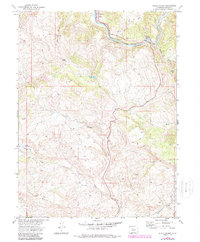
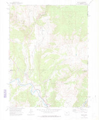
1972 Map of State Bridge
USGS Topo · Published 1988About this map
The Colorado River carves a dominant path through this portion of Eagle County, where the settlement of State Bridge serves as a focal point for regional transit and river access. The Denver and Rio Grande Western Railroad follows the northern riverbank, connecting the small community of Bond to the broader mountain rail network. This era of the landscape is characterized by a mix of early industry and high-altitude ranching infrastructure, evidenced by a Quarry near Willow Creek and the presence of the Welsh Reservoir.
Find a feature on this map
24 named features on this map. Tap any name to fly to it.
Don’t see what you’re looking for? This feature index may not catch every label — zoom into the map to look around manually.
Map Details
Editions of this 1972 State Bridge Map
4 editions found
Other maps of this area

1957 · Leadville
USGS Topo · 1:250,000

1959 · Leadville
USGS Topo · 1:250,000

1960 · Leadville
USGS Topo · 1:250,000

1962 · Leadville
USGS Topo · 1:250,000

1962 · Wolcott
USGS Topo · 1:24,000

1962 · Eagle
USGS Topo · 1:24,000

1962 · Edwards
USGS Topo · 1:24,000

1964 · Leadville
USGS Topo · 1:250,000
1972 · Mc Coy
USGS Topo · 1:24,000

1972 · Blue Hill
USGS Topo · 1:24,000