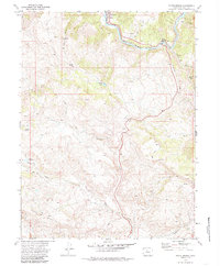
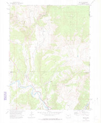
1972 Map of State Bridge
USGS Topo · Published 1985About this map
The Colorado River carves a deep valley through this high-altitude landscape where the Denver and Rio Grande Western railroad follows the water's edge. The small settlements of Bond and State Bridge serve as the primary human hubs, positioned at the confluence of the river and several drainages like Piney River and Elk Creek. To the south, the topography rises toward Horse Mountain and the boundaries of the White River National Forest.
Find a feature on this map
25 named features on this map. Tap any name to fly to it.
Don’t see what you’re looking for? This feature index may not catch every label — zoom into the map to look around manually.
Map Details
Editions of this 1972 State Bridge Map
4 editions found
Other maps of this area

1957 · Leadville
USGS Topo · 1:250,000

1959 · Leadville
USGS Topo · 1:250,000

1960 · Leadville
USGS Topo · 1:250,000

1962 · Leadville
USGS Topo · 1:250,000

1962 · Wolcott
USGS Topo · 1:24,000

1962 · Eagle
USGS Topo · 1:24,000

1962 · Edwards
USGS Topo · 1:24,000

1964 · Leadville
USGS Topo · 1:250,000
1972 · Mc Coy
USGS Topo · 1:24,000

1972 · Blue Hill
USGS Topo · 1:24,000