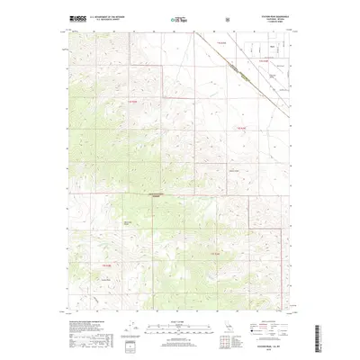
2018 Map of Station Peak
USGS Topo · Published 2018About this map
Dyer sits at the edge of the Fish Lake Valley, where the high desert floor meets the steep ascent of the White-Inyo Range. This 2018 survey reveals a landscape of stark contrasts, defined by the drainage systems of Iron Creek and Wildhorse Creek that cut through the transition from valley to mountain. South of the settlement, the Inyo National Forest boundary marks the beginning of the higher elevations, culminating in the prominent summit of Station Peak.
Find a feature on this map
20 named features on this map. Tap any name to fly to it.
Don’t see what you’re looking for? This feature index may not catch every label — zoom into the map to look around manually.
Map Details
Editions of this 2018 Station Peak Map
This is the sole edition of this map. No revisions or reprints were ever made.
Other maps of this area

1898 · Silver Peak
USGS Topo · 1:125,000

1900 · Silver Peak
USGS Topo · 1:125,000

1908 · Lida
USGS Topo · 1:250,000

1913 · Bishop
USGS Topo · 1:125,000

1913 · Lida
USGS Topo · 1:250,000

1917 · White Mountain
USGS Topo · 1:125,000

1947 · Mariposa
USGS Topo · 1:250,000

1948 · Mariposa
USGS Topo · 1:250,000

1951 · Blanco Mountain
USGS Topo · 1:62,500

1954 · Goldfield
USGS Topo · 1:250,000