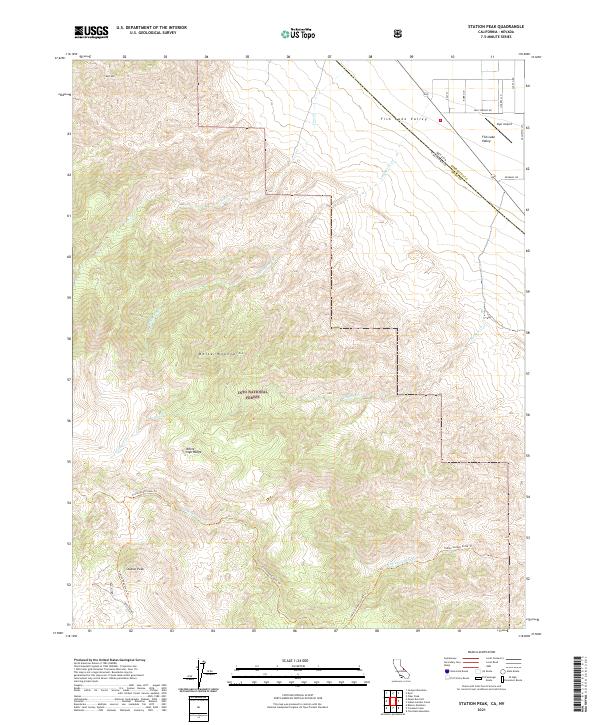
2021 Map of Station Peak
USGS Topo · Published 2021About this map
Station Peak dominates this high-altitude landscape where the White-Inyo Range meets the Nevada border. The map details a complex network of traditional mountain access routes, including the Cottonwood Stock Trl, Indian Garden Stock Trl, and Station Peak Stock Trl. These trails weave through the protected expanse of the Inyo National Forest, tracing the steep drainage systems of Iron Cr and Wildhorse Cr.
Find a feature on this map
22 named features on this map. Tap any name to fly to it.
Don’t see what you’re looking for? This feature index may not catch every label — zoom into the map to look around manually.
Map Details
Editions of this 2021 Station Peak Map
This is the sole edition of this map. No revisions or reprints were ever made.
Other maps of this area

1898 · Silver Peak
USGS Topo · 1:125,000

1900 · Silver Peak
USGS Topo · 1:125,000

1908 · Lida
USGS Topo · 1:250,000

1913 · Bishop
USGS Topo · 1:125,000

1913 · Lida
USGS Topo · 1:250,000

1917 · White Mountain
USGS Topo · 1:125,000

1947 · Mariposa
USGS Topo · 1:250,000

1948 · Mariposa
USGS Topo · 1:250,000

1951 · Blanco Mountain
USGS Topo · 1:62,500

1954 · Goldfield
USGS Topo · 1:250,000