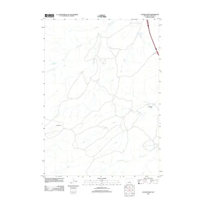
2012 Map of Statzer Point
USGS Topo · Published 2012About this map
Statzer Point serves as the dominant high point in this corner of Natrona County, overlooking a network of ephemeral watercourses and ranching infrastructure. The landscape is defined by the drainage patterns of Teapot Cr and Horse Ranch Cr, which carve through the high plains of central Wyoming. This 2012 survey illustrates the sparse human footprint in the region, centered primarily around cattle operations and water management. Significant features include the Branton Ditch Reservoir and the winding course of Henderson Draw. The presence of Ranch Rd and various unnamed 4WD tracks highlights the necessity of rugged transit in this isolated area, while the northern reaches are crossed by the seasonal flows of S Fork Castle Cr.
Find a feature on this map
7 named features on this map. Tap any name to fly to it.
Don’t see what you’re looking for? This feature index may not catch every label — zoom into the map to look around manually.
Map Details
Editions of this 2012 Statzer Point Map
This is the sole edition of this map. No revisions or reprints were ever made.
Other maps of this area

1955 · Arminto
USGS Topo · 1:250,000

1958 · Arminto
USGS Topo · 1:250,000

1962 · Arminto
USGS Topo · 1:250,000

1968 · Big Gulch
USGS Topo · 1:24,000

1968 · Merino
USGS Topo · 1:24,000

1968 · Illco
USGS Topo · 1:24,000

1968 · Salt Creek
USGS Topo · 1:24,000
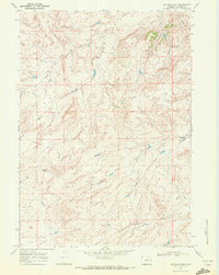
1968 · Statzer Point
USGS Topo · 1:24,000
1968 · Teapot Rock
USGS Topo · 1:24,000

1968 · Camel Hump Reservoir
USGS Topo · 1:24,000