
1964 Map of Staves
USGS Topo · Published 1965About this map
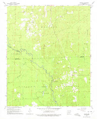
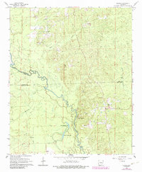
Saline River bottomlands define the western half of this 1960s survey, where the river's winding course creates a complex network of wetlands and oxbows like Upper Canada Lake and Lower Canada Lake. The settlement of Staves serves as the primary hub on the eastern upland, situated near a prominent Lookout Tower. This period of Arkansas history is reflected in the numerous rural congregations and family burial grounds that dot the landscape, such as Amity Ch and Canada Cem. The terrain rises sharply at White Oak Bluff, overlooking the confluence where Hurricane Creek and Canada Creek approach the river. To the north, the headwaters of Little Creek and Steep Creek cut through the timbered hills of Madison, while small-scale extractive industry is evident in several Gravel Pits scattered near the watercourses.
Find a feature on this map
31 named features on this map. Tap any name to fly to it.
Don’t see what you’re looking for? This feature index may not catch every label — zoom into the map to look around manually.
Map Details
Editions of this 1964 Staves Map
Other maps of this area

1953 · El Dorado
USGS Topo · 1:250,000

1955 · Little Rock
USGS Topo · 1:250,000

1956 · Little Rock
USGS Topo · 1:250,000

1957 · El Dorado
USGS Topo · 1:250,000

1958 · El Dorado
USGS Topo · 1:250,000

1960 · El Dorado
USGS Topo · 1:250,000

1960 · Little Rock
USGS Topo · 1:250,000

1962 · Pine Bluff NW
USGS Topo · 1:24,000

1962 · Kedron
USGS Topo · 1:24,000

1964 · Little Rock
USGS Topo · 1:250,000