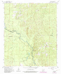
1964 Map of Staves
USGS Topo · Published 1984About this map
The Saline River meanders across this mid-century landscape where Grant, Dallas, and Cleveland counties meet. The settlement of Staves serves as a small local hub near the eastern edge, supported by rural institutions like the Church of Christ and the nearby Lookout Tower. The terrain is defined by the river’s floodplain and distinctive elevations such as Steep Hill and White Oak Bluff, which overlook a series of oxbow lakes including Upper Canada Lake and Lower Canada Lake.
Find a feature on this map
29 named features on this map. Tap any name to fly to it.
Don’t see what you’re looking for? This feature index may not catch every label — zoom into the map to look around manually.
Map Details
Editions of this 1964 Staves Map

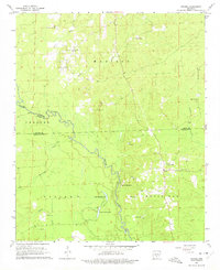
Other maps of this area

1953 · El Dorado
USGS Topo · 1:250,000

1955 · Little Rock
USGS Topo · 1:250,000

1956 · Little Rock
USGS Topo · 1:250,000

1957 · El Dorado
USGS Topo · 1:250,000

1958 · El Dorado
USGS Topo · 1:250,000

1960 · El Dorado
USGS Topo · 1:250,000

1960 · Little Rock
USGS Topo · 1:250,000

1962 · Pine Bluff NW
USGS Topo · 1:24,000

1962 · Kedron
USGS Topo · 1:24,000

1964 · Little Rock
USGS Topo · 1:250,000