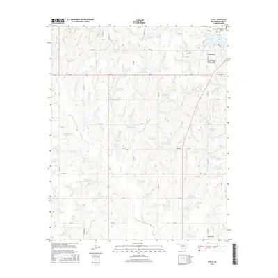
2016 Map of Stealy
USGS Topo · Published 2016About this map
The town of Purcell anchors the northeastern corner of this Oklahoma landscape, featuring the Purcell Municipal Airport - Steven E Shephard Field and the nearby Hillside Cem. The terrain is characterized by a sophisticated system of water management along the drainage of Finn Cr, where numerous numbered flood control structures like Finn Creek Site 8 Reservoir and Finn Creek Site 31 Reservoir dot the landscape. These reservoirs follow the natural contours of the creek and its tributaries, such as Turkey Cr and Second Cr, illustrating the mid-century agricultural and environmental engineering of the region.
Find a feature on this map
64 named features on this map. Tap any name to fly to it.
Don’t see what you’re looking for? This feature index may not catch every label — zoom into the map to look around manually.
Map Details
Editions of this 2016 Stealy Map
This is the sole edition of this map. No revisions or reprints were ever made.
Other maps of this area

1893 · Norman
USGS Topo · 1:62,500

1898 · Purcell
USGS Topo · 1:125,000

1898 · Pauls Valley
USGS Topo · 1:125,000

1902 · Pauls Valley
USGS Topo · 1:125,000

1902 · Rush Springs
USGS Topo · 1:125,000

1904 · Chickasha
USGS Topo · 1:125,000

1936 · Norman
USGS Topo · 1:62,500

1954 · Oklahoma City
USGS Topo · 1:250,000

1957 · Ardmore
USGS Topo · 1:250,000

1957 · Oklahoma City
USGS Topo · 1:250,000