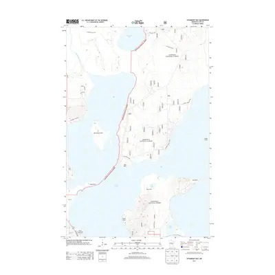
2013 Map of Steamboat Bay
USGS Topo · Published 2013About this map
Chippewa National Forest dominates this northern Minnesota landscape, where the waters of Leech Lake reach into complex bays and shorelines. The intricate interface between land and water is defined by prominent features like Minnesota Island and the narrow peninsula of Pine Point. The map illustrates a recreational and wilderness-focused infrastructure, showing the Shores of Leech Lake Campground near State Hwy 200 and a network of named routes such as Steamboat Loop NW and Chippewa Beach Rd NW. Inland, smaller bodies of water like Crooked Lake and Lost Lake are connected by minor drainages like Crooked Cr, highlighting the glacial hydrology of Wilkinson Twp. This modern survey documents the contemporary balance of protected forest land and seasonal access points used by visitors to the region's expansive lakes.
Find a feature on this map
55 named features on this map. Tap any name to fly to it.
Don’t see what you’re looking for? This feature index may not catch every label — zoom into the map to look around manually.
Map Details
Editions of this 2013 Steamboat Bay Map
This is the sole edition of this map. No revisions or reprints were ever made.
Other maps of this area

1954 · Bemidji
USGS Topo · 1:250,000

1957 · Bemidji
USGS Topo · 1:250,000

1958 · Bemidji
USGS Topo · 1:250,000
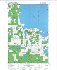
1971 · Jack Lake
USGS Topo · 1:24,000

1971 · Sucker Lakes
USGS Topo · 1:24,000
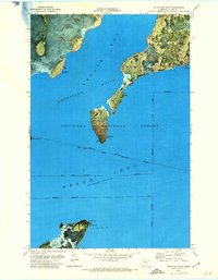
1971 · Ottertail Point
USGS Topo · 1:24,000

1972 · Steamboat Bay
USGS Topo · 1:24,000

1972 · Benedict
USGS Topo · 1:24,000

1972 · Pike Bay
USGS Topo · 1:24,000
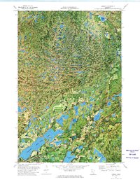
1972 · Akeley
USGS Topo · 1:24,000