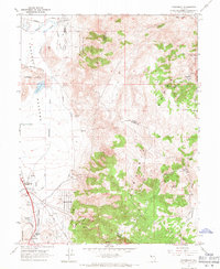
1967 Map of Steamboat
USGS Topo · Published 1971About this map
The eastern margins of Truckee Meadows meet the rising slopes of the Virginia Range in this late 1960s topographic study. The landscape is defined by its transition from the irrigated agricultural and wetland features of Boynton Slough and Steamboat Creek to the mineral-rich highlands. Geologists and local historians will find numerous industrial indicators, including the Castle Peak Mine, Washington Hill Prospect, and various quarries, alongside the Steamboat Springs Gaging Sta which monitors the area's hydrothermal activity.
Find a feature on this map
41 named features on this map. Tap any name to fly to it.
Don’t see what you’re looking for? This feature index may not catch every label — zoom into the map to look around manually.
Map Details
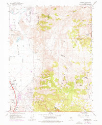
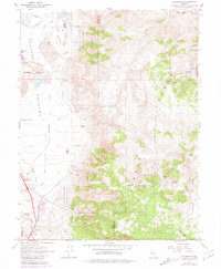
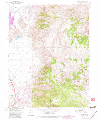
Editions of this 1967 Steamboat Map
4 editions found
Other maps of this area

1891 · Carson
USGS Topo · 1:125,000

1891 · Reno
USGS Topo · 1:125,000

1893 · Carson
USGS Topo · 1:125,000

1893 · Reno
USGS Topo · 1:125,000

1950 · Virginia City
USGS Topo · 1:62,500

1950 · Mt. Rose
USGS Topo · 1:62,500

1950 · Reno
USGS Topo · 1:62,500

1951 · Reno
USGS Topo · 1:62,500

1952 · Mt. Rose
USGS Topo · 1:62,500

1952 · Virginia City
USGS Topo · 1:62,500