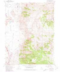
1967 Map of Steamboat
USGS Topo · Published 1981About this map
Steamboat anchors the southern end of the Truckee Meadows, serving as a point of activity in a landscape shifting between valley floor ranching and the industrial pull of the eastern heights. The map captures the transitional character of the mid-1960s, where the expansion of Hidden Valley County Park and the residential lines along Hidden Valley Drive meet the older scars of the Virginia Range. To the east, the terrain rises sharply toward Castle Peak and Washington Hill, revealing the region's mining heritage through numerous unnamed mines, prospects, and a claypit. Significant historical infrastructure is visible in the winding Geiger Grade and the Toll Road, reflecting the difficult topography that separate these meadows from the Comstock districts beyond. Educational and social foundations are marked at the Brown-Washoe Sch No 3, while several former settlement locations like Washington (Site) and Lousetown (Site) indicate the transient nature of early development in these hills.
Find a feature on this map
44 named features on this map. Tap any name to fly to it.
Don’t see what you’re looking for? This feature index may not catch every label — zoom into the map to look around manually.
Map Details
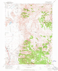
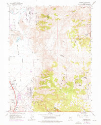
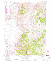
Editions of this 1967 Steamboat Map
4 editions found
Other maps of this area

1891 · Carson
USGS Topo · 1:125,000

1891 · Reno
USGS Topo · 1:125,000

1893 · Carson
USGS Topo · 1:125,000

1893 · Reno
USGS Topo · 1:125,000

1950 · Virginia City
USGS Topo · 1:62,500

1950 · Mt. Rose
USGS Topo · 1:62,500

1950 · Reno
USGS Topo · 1:62,500

1951 · Reno
USGS Topo · 1:62,500

1952 · Mt. Rose
USGS Topo · 1:62,500

1952 · Virginia City
USGS Topo · 1:62,500