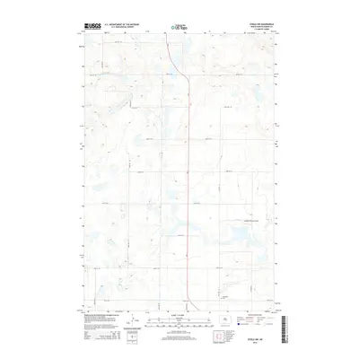
2014 Map of Steele NW
USGS Topo · Published 2014About this map
Glacial prairie potholes and intermittent wetlands dominate this Kidder County landscape, where the section-line road grid organizes the rural expanse. The terrain is marked by numerous unnamed depressions and small water bodies characteristic of the Missouri Coteau region. Human presence is sparse but precisely marked by family and community landmarks such as Woodlawn Cem in the southeastern quadrant. Transportation and infrastructure are represented by the crossing of North Dakota Highway 3 and a network of gravel routes including 25th Ave SE and 30th St SE. A notable specialized facility, the Kalainov Private Airport, sits tucked among the rolling contours, reflecting the utility of private aviation in the northern plains. This survey provides a clear view of the 21st-century agricultural layout and drainage patterns prior to any significant modern changes in land use.
Find a feature on this map
17 named features on this map. Tap any name to fly to it.
Don’t see what you’re looking for? This feature index may not catch every label — zoom into the map to look around manually.
Map Details
Editions of this 2014 Steele NW Map
This is the sole edition of this map. No revisions or reprints were ever made.
Other maps of this area

1951 · Driscoll
USGS Topo · 1:62,500

1952 · Dawson
USGS Topo · 1:24,000

1952 · Steele NE
USGS Topo · 1:24,000

1952 · Steele
USGS Topo · 1:24,000

1952 · Steele NW
USGS Topo · 1:24,000

1952 · New Rockford
USGS Topo · 1:250,000

1953 · Jamestown
USGS Topo · 1:250,000

1954 · Bismarck
USGS Topo · 1:250,000

1954 · McClusky
USGS Topo · 1:250,000

1956 · New Rockford
USGS Topo · 1:250,000