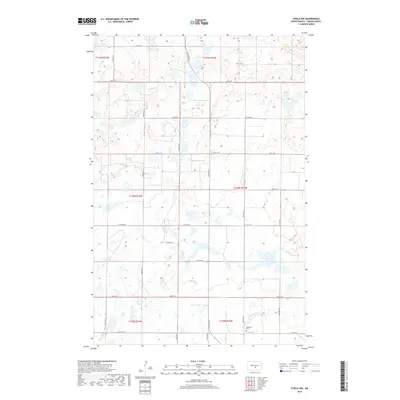
2018 Map of Steele NW
USGS Topo · Published 2018About this map
Woodlawn Cem sits at the intersection of 37th St SE and 27th Ave SE, serving as a primary cultural landmark in this rural Kidder County landscape. The area is defined by its precise section-line grid, where roads like 24th Ave SE and 34th St SE cut through a terrain marked by numerous depressions and wetlands. This 2018 survey illustrates the persistent agricultural geometry of central North Dakota, where the Public Land Survey System has dictated the placement of nearly every road and property boundary across townships such as t140n r73w and t139n r73w. The map preserves the specific locations of rural transit routes and local burial grounds essential for family history and land-use research in this quiet prairie region.
Find a feature on this map
23 named features on this map. Tap any name to fly to it.
Don’t see what you’re looking for? This feature index may not catch every label — zoom into the map to look around manually.
Map Details
Editions of this 2018 Steele NW Map
This is the sole edition of this map. No revisions or reprints were ever made.
Other maps of this area

1951 · Driscoll
USGS Topo · 1:62,500

1952 · Dawson
USGS Topo · 1:24,000

1952 · Steele NE
USGS Topo · 1:24,000

1952 · Steele
USGS Topo · 1:24,000

1952 · Steele NW
USGS Topo · 1:24,000

1952 · New Rockford
USGS Topo · 1:250,000

1953 · Jamestown
USGS Topo · 1:250,000

1954 · Bismarck
USGS Topo · 1:250,000

1954 · McClusky
USGS Topo · 1:250,000

1956 · New Rockford
USGS Topo · 1:250,000