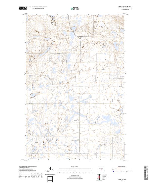
2024 Map of Steele NW
USGS Topo · Published 2024About this map
Woodlawn Cem stands as a quiet landmark within this section of Kidder County, situated near the intersection of 37th St SE and 26th Ave SE. The landscape is defined by the Public Land Survey System, with the boundaries of t140n r73w and t139n r73w meeting amidst a complex network of prairie potholes and seasonal wetlands. The section lines are traced by a rigid grid of local roads, including 25th Ave SE and 32nd St SE, reflecting the enduring agricultural organization of the North Dakota plains. This high-resolution survey captures the modern rural infrastructure where established section roads navigate around numerous small water bodies and varied terrain elevations.
Find a feature on this map
23 named features on this map. Tap any name to fly to it.
Don’t see what you’re looking for? This feature index may not catch every label — zoom into the map to look around manually.
Map Details
Editions of this 2024 Steele NW Map
This is the sole edition of this map. No revisions or reprints were ever made.
Other maps of this area

1951 · Driscoll
USGS Topo · 1:62,500

1952 · Dawson
USGS Topo · 1:24,000

1952 · Steele NE
USGS Topo · 1:24,000

1952 · Steele
USGS Topo · 1:24,000

1952 · Steele NW
USGS Topo · 1:24,000

1952 · New Rockford
USGS Topo · 1:250,000

1953 · Jamestown
USGS Topo · 1:250,000

1954 · Bismarck
USGS Topo · 1:250,000

1954 · McClusky
USGS Topo · 1:250,000

1956 · New Rockford
USGS Topo · 1:250,000