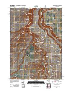
2011 Map of Steelhead Falls
USGS Topo · Published 2011About this map
The Deschutes River and Crooked River converge in a landscape of deep canyons and volcanic overlooks in this part of Deschutes County. The map documents the intricate river system as it feeds into the southern reaches of Lake Billy Chinook, showing the rugged drainage patterns of Whychus Creek and the sheer drop of Steelhead Falls. This 2011 survey captures a transition in land use, where established agricultural properties like Gates Ranch and Holmes Ranch sit alongside newer residential developments indicated by a dense network of suburban-style roads like SW Peninsula Dr and SW Cinder Dr. Local history is anchored by the Geneva Cemetery and the Geneva Overlook, which recall the earlier agrarian settlement of Geneva. The terrain is marked by distinct geographical features including Green Mountain and the steep walls of Potter Canyon, highlighting the geological character of the Oregon high desert.
Find a feature on this map
74 named features on this map. Tap any name to fly to it.
Don’t see what you’re looking for? This feature index may not catch every label — zoom into the map to look around manually.
Map Details
Editions of this 2011 Steelhead Falls Map
This is the sole edition of this map. No revisions or reprints were ever made.
Other maps of this area

1926 · Bend
USGS Topo · 1:125,000

1928 · Madras
USGS Topo · 1:125,000

1929 · Bend
USGS Topo · 1:125,000

1931 · Madras
USGS Topo · 1:125,000

1955 · Bend
USGS Topo · 1:250,000

1957 · Bend
USGS Topo · 1:250,000

1958 · Bend
USGS Topo · 1:250,000

1961 · Redmond
USGS Topo · 1:24,000

1962 · Opal City
USGS Topo · 1:24,000

1962 · Fly Creek
USGS Topo · 1:24,000