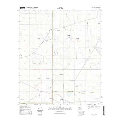
2015 Map of Steep Gully
USGS Topo · Published 2015About this map
Elizabeth sits at the intersection of local history and the piney woods landscape, serving as a primary settlement near the southern border of Rapides and Allen Parishes. The map reveals a network of rural routes named for local families and landmarks, such as Donnie Willis Rd, Venoy Thompson Rd, and Claude Maricle Rd, which connect scattered homesteads to community centers like Westport.
Find a feature on this map
72 named features on this map. Tap any name to fly to it.
Don’t see what you’re looking for? This feature index may not catch every label — zoom into the map to look around manually.
Map Details
Editions of this 2015 Steep Gully Map
This is the sole edition of this map. No revisions or reprints were ever made.
Other maps of this area

1935 · Pawnee
USGS Topo · 1:31,680

1935 · Oakdale
USGS Topo · 1:31,680

1942 · Oakdale
USGS Topo · 1:62,500

1943 · Leander
USGS Topo · 1:62,500

1947 · Steep Gully
USGS Topo · 1:31,680

1947 · Elizabeth
USGS Topo · 1:31,680

1947 · Grant
USGS Topo · 1:31,680

1947 · Pitkin
USGS Topo · 1:31,680

1948 · Grant
USGS Topo · 1:24,000

1948 · Elizabeth
USGS Topo · 1:24,000