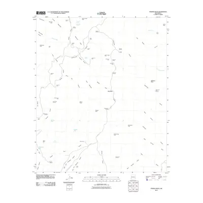
2010 Map of Steeple Rock
USGS Topo · Published 2010About this map
Steeple Rock and the high desert of Grant County are defined by a long history of hard-rock extraction and cattle ranching. This early 21st-century record reveals a landscape densely marked by mining operations along the Carlisle RD corridor, including the Carlisle Mine, Summit Mine, and Goldenrod Mine. The presence of several named residential sites like McKelvey Place and Hext Place suggests a scattered but persistent human footprint centered around these historical claims. Water management is critical in this arid environment, evidenced by a network of vital points such as Raeburn Windmill, Bluebell Windmill, and Coyote Tank. From the heights of Summit Peak and Mount Royal down to the drainage of Cottonwood Canyon, the map illustrates how topography dictated the placement of roads and remote outposts like Upper Ranch and Lower Ranch.
Find a feature on this map
78 named features on this map. Tap any name to fly to it.
Don’t see what you’re looking for? This feature index may not catch every label — zoom into the map to look around manually.
Map Details
Editions of this 2010 Steeple Rock Map
This is the sole edition of this map. No revisions or reprints were ever made.
Other maps of this area

1954 · Silver City
USGS Topo · 1:250,000
1958 · Silver City
USGS Topo · 1:250,000
1959 · Steeple Rock
USGS Topo · 1:62,500
1959 · Canador Peak
USGS Topo · 1:62,500
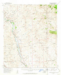
1959 · York Valley
USGS Topo · 1:62,500
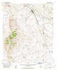
1960 · Duncan
USGS Topo · 1:62,500
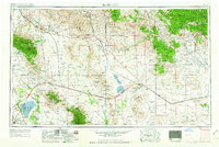
1962 · Silver City
USGS Topo · 1:250,000
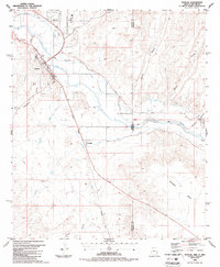
1986 · Duncan
USGS Topo · 1:24,000
1986 · Tillie Hall Peak
USGS Topo · 1:24,000
1986 · Goat Camp Spring
USGS Topo · 1:24,000