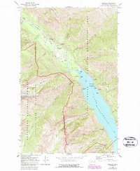
1969 Map of Stehekin
USGS Topo · Published 1987About this map
The Stehekin River valley and the northern tip of Lake Chelan define this region within the Lake Chelan National Recreation Area. By the late 1960s, the isolated settlement of Stehekin served as a vital nexus for travel and administration, featuring the Purple Point Ranger Station and a local Landing Strip. The map illustrates a landscape managed for both recreation and preservation, with boundaries for the Wenatchee National Forest and the Glacier Peak Wilderness meeting near the water's edge.
Find a feature on this map
54 named features on this map. Tap any name to fly to it.
Don’t see what you’re looking for? This feature index may not catch every label — zoom into the map to look around manually.
Map Details
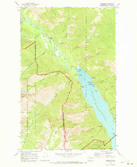
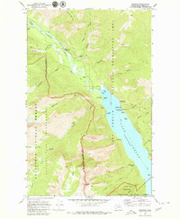
Editions of this 1969 Stehekin Map
3 editions found
Other maps of this area

1902 · Stehekin
USGS Topo · 1:125,000

1904 · Stehekin
USGS Topo · 1:125,000

1944 · Holden
USGS Topo · 1:62,500

1944 · Lucerne
USGS Topo · 1:62,500

1949 · Lucerne
USGS Topo · 1:62,500

1949 · Holden
USGS Topo · 1:62,500

1955 · Concrete
USGS Topo · 1:250,000

1958 · Concrete
USGS Topo · 1:250,000

1962 · Concrete
USGS Topo · 1:250,000

1963 · Mc Gregor Mtn
USGS Topo · 1:24,000