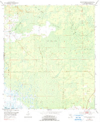
1954 Map of Steinhatchee SE
USGS Topo · Published 1990About this map
Blue Lake Swamp and the surrounding wetlands of Dixie County dominate this 1954 topographic survey, revealing a landscape defined by seasonal water and dense bay vegetation. Situated along the Gulf of Mexico, the area shows a distinct lack of heavy development during the mid-20th century, with most activity concentrated along established dirt tracks and survey lines. The presence of Butler Cem near the eastern edge provides a vital focal point for genealogists, marking a specific site of local burial and memory within the shifting terrain of Little Rock Swamp.
Find a feature on this map
8 named features on this map. Tap any name to fly to it.
Don’t see what you’re looking for? This feature index may not catch every label — zoom into the map to look around manually.
Map Details
Editions of this 1954 Steinhatchee SE Map
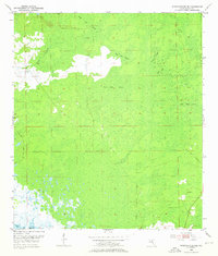
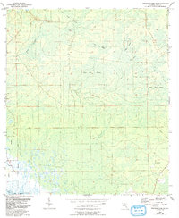
4 editions found
Other maps of this area

1954 · Steinhatchee SW
USGS Topo · 1:24,000

1954 · Cross City West
USGS Topo · 1:24,000

1954 · Jena
USGS Topo · 1:24,000

1954 · Steinhatchee
USGS Topo · 1:24,000

1954 · Steinhatchee SE
USGS Topo · 1:24,000

1954 · Cross City SW
USGS Topo · 1:24,000

1954 · Horseshoe Beach
USGS Topo · 1:24,000

1954 · Gainesville
USGS Topo · 1:250,000

1955 · Shired Island
USGS Topo · 1:24,000

1958 · Gainesville
USGS Topo · 1:250,000