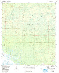
1954 Map of Steinhatchee SE
USGS Topo · Published 1993About this map
The Gulf of Mexico shoreline and the sprawling wetlands of Dixie County dominate this mid-century landscape. Based on surveys from the 1950s with later updates, the map reveals a wilderness where the JENA Wildlife Management Area provides structure to a terrain defined by intermittent water and dense vegetation. Large named basins such as Bear Bay Swamp and Blue Lake Swamp cover much of the interior, illustrating the characteristic hydrology of Florida's Big Bend region before modern drainage or development patterns could take hold.
Find a feature on this map
17 named features on this map. Tap any name to fly to it.
Don’t see what you’re looking for? This feature index may not catch every label — zoom into the map to look around manually.
Map Details
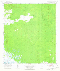
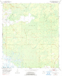
Editions of this 1954 Steinhatchee SE Map
4 editions found
Other maps of this area

1954 · Steinhatchee SW
USGS Topo · 1:24,000

1954 · Cross City West
USGS Topo · 1:24,000

1954 · Jena
USGS Topo · 1:24,000

1954 · Steinhatchee
USGS Topo · 1:24,000

1954 · Steinhatchee SE
USGS Topo · 1:24,000

1954 · Cross City SW
USGS Topo · 1:24,000

1954 · Horseshoe Beach
USGS Topo · 1:24,000

1954 · Gainesville
USGS Topo · 1:250,000

1955 · Shired Island
USGS Topo · 1:24,000

1958 · Gainesville
USGS Topo · 1:250,000