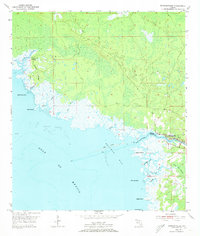
1954 Map of Steinhatchee
USGS Topo · Published 1973About this map
The Steinhatchee River defines the boundary between Taylor and Dixie Counties as it flows into Deadman Bay. This 1954 survey provides an intricate view of the Big Bend coastline before modern development altered the shoreline dynamics. The settlement of Steinhatchee sits at the river's mouth, serving as a hub for a landscape dominated by tidal creeks and sprawling wetlands. Inland, Hickory Ridge rises slightly above the surrounding marshes, while the expansive Pine Log Swamp occupies the southeastern corner of the quadrangle.
Find a feature on this map
30 named features on this map. Tap any name to fly to it.
Don’t see what you’re looking for? This feature index may not catch every label — zoom into the map to look around manually.
Map Details
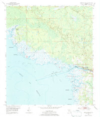
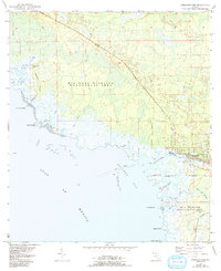
Editions of this 1954 Steinhatchee Map
4 editions found
Other maps of this area

1954 · Steinhatchee SW
USGS Topo · 1:24,000

1954 · Clara
USGS Topo · 1:24,000

1954 · Salem SW
USGS Topo · 1:24,000

1954 · Jena
USGS Topo · 1:24,000

1954 · Steinhatchee
USGS Topo · 1:24,000

1954 · Steinhatchee SE
USGS Topo · 1:24,000

1954 · Keaton Beach
USGS Topo · 1:24,000

1954 · Crooked Point
USGS Topo · 1:24,000

1954 · Gainesville
USGS Topo · 1:250,000

1958 · Gainesville
USGS Topo · 1:250,000