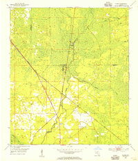
1954 Map of Steinhatchee
USGS Topo · Published 1993About this map
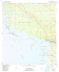
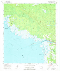
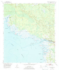
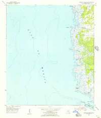
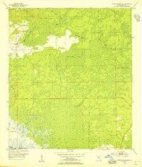
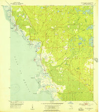
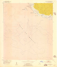
Steinhatchee serves as the primary coastal hub on this 1954 topographic survey, situated at the mouth of the Steinhatchee River where it meets Deadman Bay. This coastal landscape is dominated by tidal marshes and winding waterways such as Jack Creek and Salt Creek, illustrating the complex drainage of the Florida Big Bend. The survey captures the region during a period of managed conservation, with the Big Bend Wildlife Management Area and Jena Wildlife Management Area covering substantial portions of the shoreline and inland woods.
Find a feature on this map
32 named features on this map. Tap any name to fly to it.
Don’t see what you’re looking for? This feature index may not catch every label — zoom into the map to look around manually.
Map Details
Editions of this 1954 Steinhatchee Map
4 editions found
Other maps of this area
1954 · Steinhatchee SW
USGS Topo · 1:24,000
1954 · Clara
USGS Topo · 1:24,000
1954 · Salem SW
USGS Topo · 1:24,000
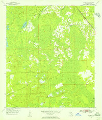
1954 · Jena
USGS Topo · 1:24,000
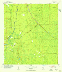
1954 · Steinhatchee
USGS Topo · 1:24,000
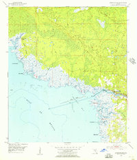
1954 · Steinhatchee SE
USGS Topo · 1:24,000
1954 · Keaton Beach
USGS Topo · 1:24,000
1954 · Crooked Point
USGS Topo · 1:24,000

1954 · Gainesville
USGS Topo · 1:250,000

1958 · Gainesville
USGS Topo · 1:250,000