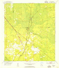
1954 Map of Steinhatchee
USGS Topo · Published 1984About this map
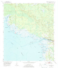
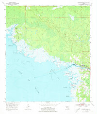
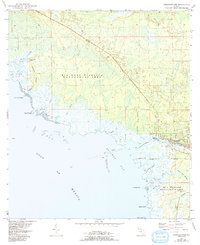
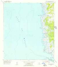
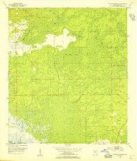
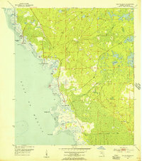
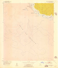
The Steinhatchee River serves as the focal point for this coastal Florida landscape, delineating the border between Taylor and Dixie Counties as it empties into Deadman Bay. In the mid-1950s, the settlement of Steinhatchee appears as a small riverside hub, surrounded by a complex network of wetlands and tidal inlets. The coastline is defined by natural hazards and landmarks such as the Shell Reefs and various small islands, including Lazy Island and Little Grass Island. To the northwest, Dallus Creek Landing and Hickory Ridge indicate the sparse development of the era, where land use was heavily dictated by the shifting tides and the vast Pine Log Swamp. This survey provides a record of the river-and-gulf economy before modern expansion, capturing the intricate hydrography of creeks like Porpoise Creek and Jack Creek.
Find a feature on this map
24 named features on this map. Tap any name to fly to it.
Don’t see what you’re looking for? This feature index may not catch every label — zoom into the map to look around manually.
Map Details
Editions of this 1954 Steinhatchee Map
4 editions found
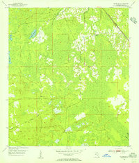
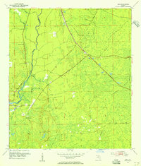
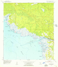
Other maps of this area
1954 · Steinhatchee SW
USGS Topo · 1:24,000
1954 · Clara
USGS Topo · 1:24,000
1954 · Salem SW
USGS Topo · 1:24,000
1954 · Jena
USGS Topo · 1:24,000
1954 · Steinhatchee
USGS Topo · 1:24,000
1954 · Steinhatchee SE
USGS Topo · 1:24,000
1954 · Keaton Beach
USGS Topo · 1:24,000
1954 · Crooked Point
USGS Topo · 1:24,000

1954 · Gainesville
USGS Topo · 1:250,000

1958 · Gainesville
USGS Topo · 1:250,000