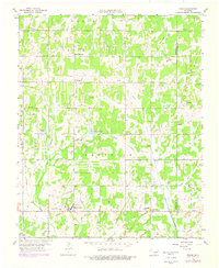
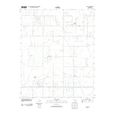
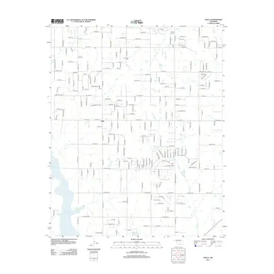
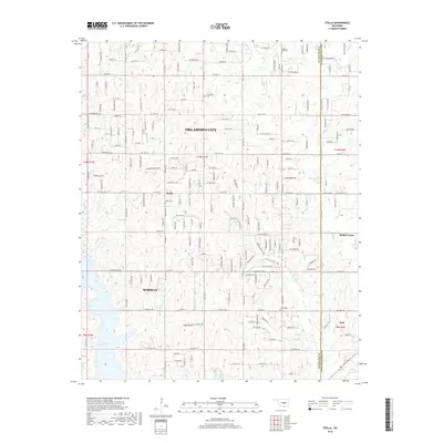
1956 Map of Stella
USGS Topo · Published 1988About this map
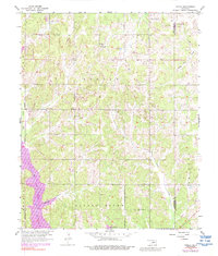
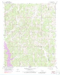
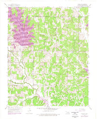
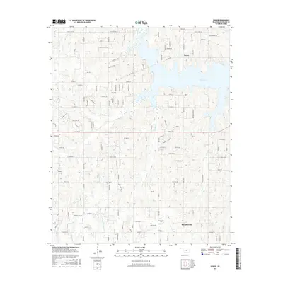
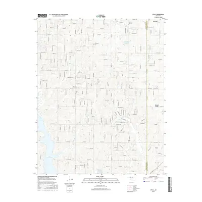
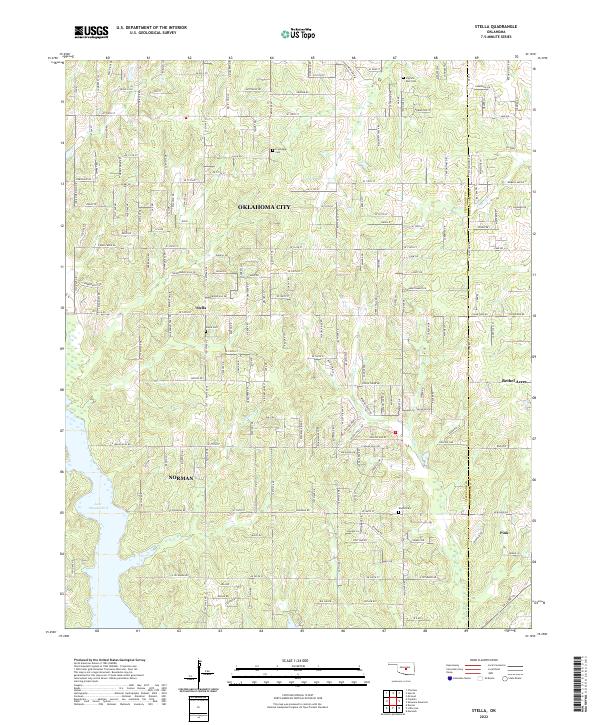
Stella sits atop a landscape of winding drainages and rural homesteads along the border of Cleveland and Pottawatomie counties. This mid-century survey, with photo-revisions from the late 1960s and 1970s, captures the arrival of Lake Thunderbird in the southwest corner, a significant transformation of the Hog Creek valley. Before this flooding, the area was defined by the confluence of the Little River and its various tributaries like Willow Branch and Pecum Creek.
Find a feature on this map
16 named features on this map. Tap any name to fly to it.
Don’t see what you’re looking for? This feature index may not catch every label — zoom into the map to look around manually.
Map Details
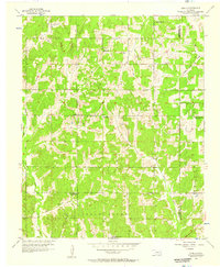
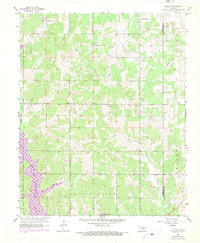
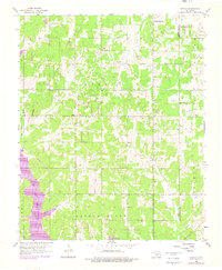
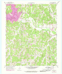
Editions of this 1956 Stella Map
5 editions found
Historical Maps of Oklahoma City Through Time
39 maps found

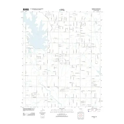
1925 Norman NO 2
Cleveland County, OK
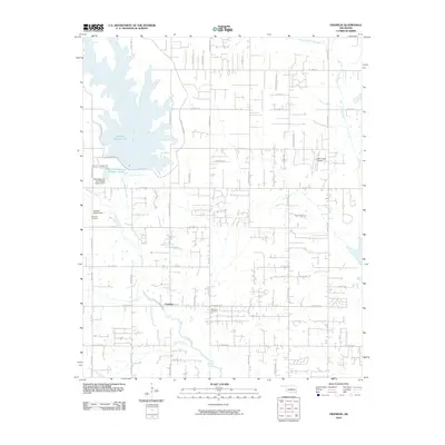
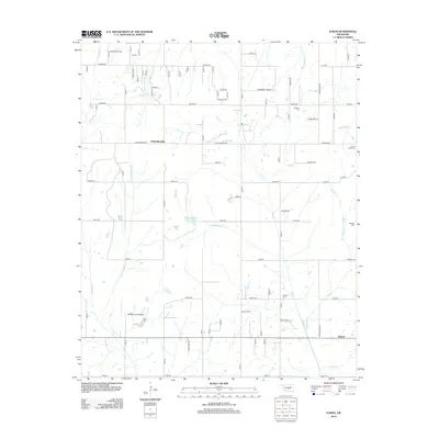
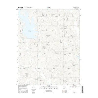
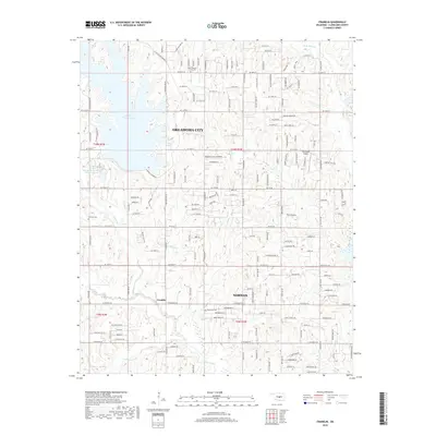
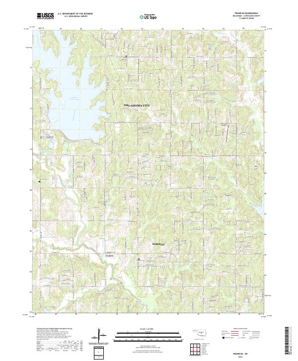
1956 Franklin
Cleveland County, OK
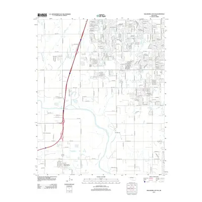
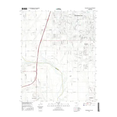
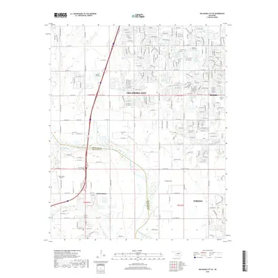
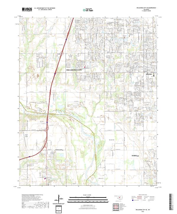
1956 Oklahoma City SE
Cleveland County, OK
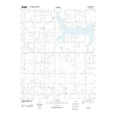
1956 Stella
Cleveland County, OK
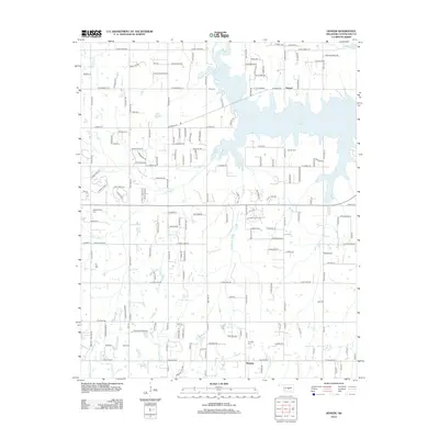
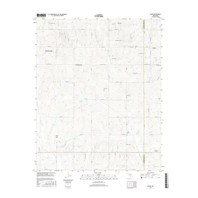
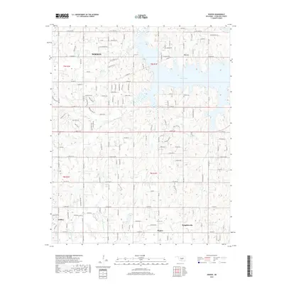
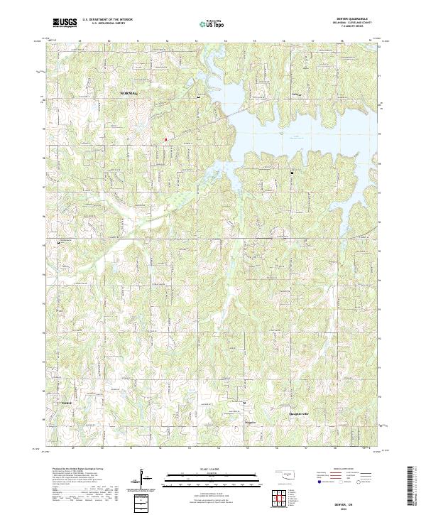
1958 Denver
Cleveland County, OK
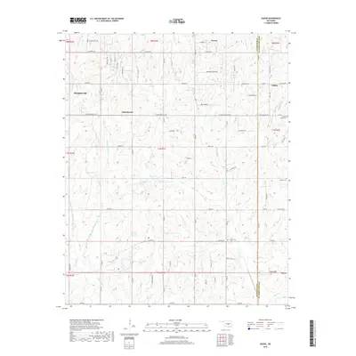
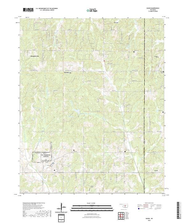
1958 Eason
Cleveland County, OK
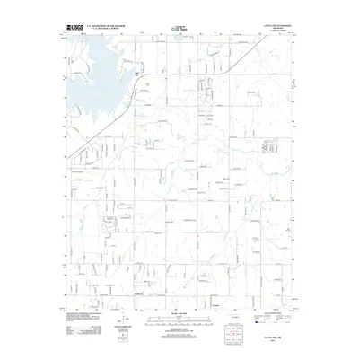
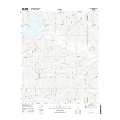
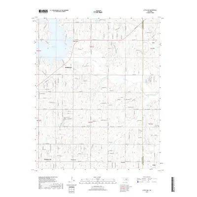
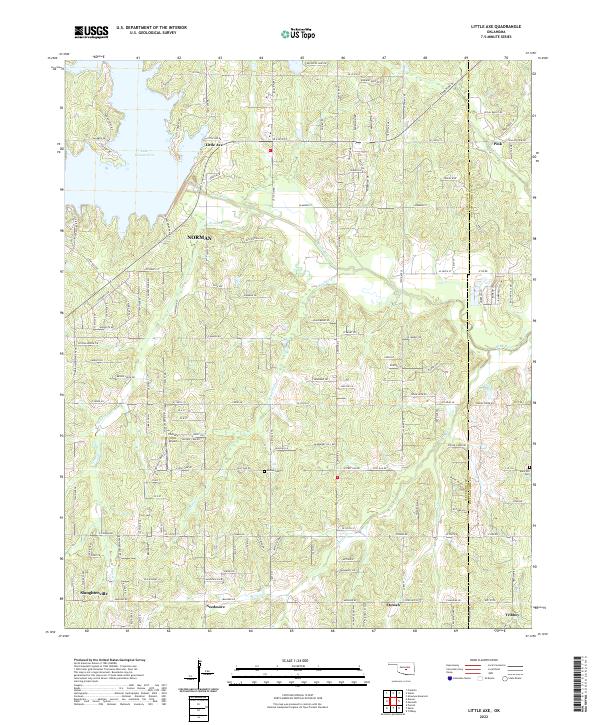
1958 Little Axe
Cleveland County, OK
1985 Oklahoma City South
Cleveland County, OK
1986 Oklahoma City SE
Cleveland County, OK
2009 Eason
Cleveland County, OK
2009 Little Axe
Cleveland County, OK
2009 Oklahoma City SE
Cleveland County, OK
2009 Stella
Cleveland County, OK
2010 Denver
Cleveland County, OK
2010 Franklin
Cleveland County, OK
2012 Denver
Cleveland County, OK
2012 Little Axe
Cleveland County, OK
2012 Oklahoma City SE
Cleveland County, OK
2012 Stella
Cleveland County, OK
2013 Eason
Cleveland County, OK
2013 Franklin
Cleveland County, OK
2016 Denver
Cleveland County, OK
2016 Eason
Cleveland County, OK
2016 Franklin
Cleveland County, OK
2016 Little Axe
Cleveland County, OK
2016 Oklahoma City SE
Cleveland County, OK
2016 Stella
Cleveland County, OK
2018 Denver
Cleveland County, OK
2018 Eason
Cleveland County, OK
2018 Franklin
Cleveland County, OK
2018 Little Axe
Cleveland County, OK
2018 Oklahoma City SE
Cleveland County, OK
2018 Stella
Cleveland County, OK
2022 Denver
Cleveland County, OK
2022 Eason
Cleveland County, OK
2022 Franklin
Cleveland County, OK
2022 Little Axe
Cleveland County, OK
2022 Oklahoma City SE
Cleveland County, OK
2022 Stella
Cleveland County, OK