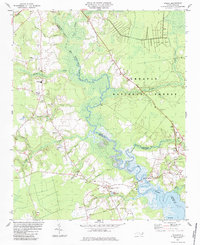
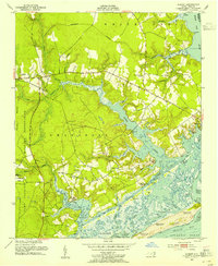
1984 Map of Stella
USGS Topo · Published 1984About this map
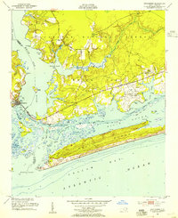
The White Oak River serves as the central artery for this mid-1980s coastal landscape, meandering through a complex of tidal creeks and dense woodlands. The eastern bank is dominated by the sprawling Croatan National Forest, where labels like Holston Creek and Hunters Creek define the wilderness boundary. To the west, the rural character of Onslow County is marked by small settlements and family-oriented landmarks. Community life is anchored by local institutions such as Tabernacle Sch and several houses of worship, including St Stephens Ch and Davis Chapel.
Find a feature on this map
45 named features on this map. Tap any name to fly to it.
Don’t see what you’re looking for? This feature index may not catch every label — zoom into the map to look around manually.
Map Details
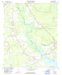
Editions of this 1984 Stella Map
2 editions found
Other maps of this area

1942 · Maysville
USGS Topo · 1:62,500
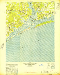
1942 · Swansboro
USGS Topo · 1:62,500
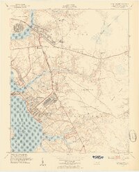
1943 · Jacksonville
USGS Topo · 1:62,500

1948 · Maysville
USGS Topo · 1:62,500
1948 · Swansboro
USGS Topo · 1:62,500
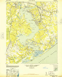
1948 · New River
USGS Topo · 1:62,500
1952 · Hubert
USGS Topo · 1:24,000
1952 · Camp Lejeune
USGS Topo · 1:24,000
1952 · Swansboro
USGS Topo · 1:24,000

1953 · Beaufort
USGS Topo · 1:250,000