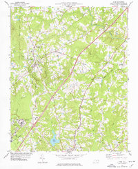
1974 Map of Stem
USGS Topo · Published 1977About this map
Stem and Butner serve as the primary hubs in this mid-1970s look at southern Granville County, where the landscape is defined by a dense network of country roads and family-named hamlets. The Murdoch Center campus stands out as a significant institutional presence near the Southern Railway line, while the Seaboard Coast Line Railroad cuts a parallel path further east through Aycock and Hester. This era shows a community deeply rooted in its local institutions, evidenced by numerous rural houses of worship such as Tallyho Ch, Concord Ch, and Mt Vernon Ch.
Find a feature on this map
69 named features on this map. Tap any name to fly to it.
Don’t see what you’re looking for? This feature index may not catch every label — zoom into the map to look around manually.
Map Details
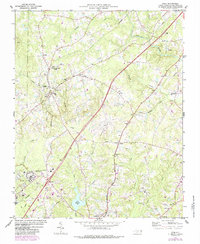
Editions of this 1974 Stem Map
2 editions found
Other maps of this area

1943 · Roxboro
USGS Topo · 1:62,500

1943 · Creedmoor
USGS Topo · 1:62,500

1944 · Creedmoor
USGS Topo · 1:62,500

1951 · Durham North
USGS Topo · 1:62,500

1953 · Oxford
USGS Topo · 1:62,500

1953 · Greensboro
USGS Topo · 1:250,000

1954 · Greensboro
USGS Topo · 1:250,000

1962 · Greensboro
USGS Topo · 1:250,000

1966 · Greensboro
USGS Topo · 1:250,000

1966 · Oxford
USGS Topo · 1:62,500