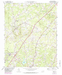
1974 Map of Stem
USGS Topo · Published 1987About this map
The Tar River flows through the northeast corner of this Granville County landscape, a region defined by its rail-connected settlements and institutional grounds in the mid-1970s. The town of Stem sits centrally between the Southern and Seaboard Coast Line railroads, while the southern reaches show the expansion of Creedmoor and the industrial layout of the Murdoch Center (State Hospital) at Butner. These transit corridors shaped the local economy, connecting smaller hamlets like Shoofly, Hester, and Lyons.
Find a feature on this map
52 named features on this map. Tap any name to fly to it.
Don’t see what you’re looking for? This feature index may not catch every label — zoom into the map to look around manually.
Map Details
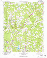
Editions of this 1974 Stem Map
2 editions found
Other maps of this area

1943 · Roxboro
USGS Topo · 1:62,500

1943 · Creedmoor
USGS Topo · 1:62,500

1944 · Creedmoor
USGS Topo · 1:62,500

1951 · Durham North
USGS Topo · 1:62,500

1953 · Oxford
USGS Topo · 1:62,500

1953 · Greensboro
USGS Topo · 1:250,000

1954 · Greensboro
USGS Topo · 1:250,000

1962 · Greensboro
USGS Topo · 1:250,000

1966 · Greensboro
USGS Topo · 1:250,000

1966 · Oxford
USGS Topo · 1:62,500