Loading...
Loading map...2024 Map of Stephens
USGS Topo · Published 2024About this map
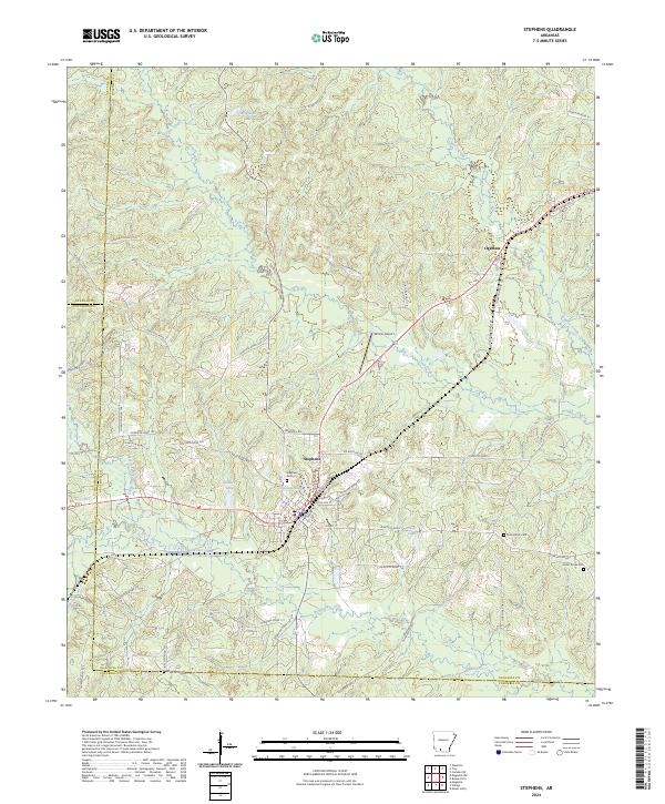
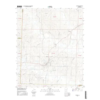
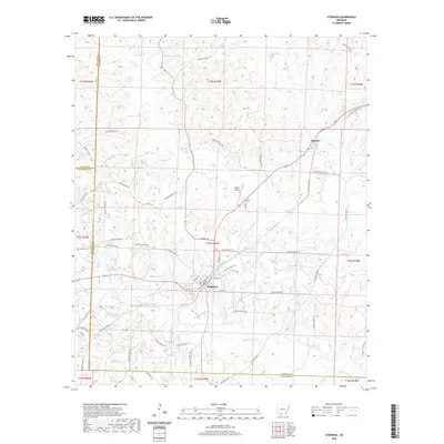
The town of Stephens serves as the focal point of this South Arkansas landscape, where the borders of Ouachita, Columbia, and Nevada counties meet. The area is defined by the drainage network of Smackover Creek and its tributaries, including Little Smackover Creek and Gum Creek. This contemporary survey details a mix of low-lying wetlands and industrial sites, notably represented by the Elk Roofing Rd facility and the nearby Wilson Airport.
Find a feature on this map
74 named features on this map. Tap any name to fly to it.
Don’t see what you’re looking for? This feature index may not catch every label — zoom into the map to look around manually.
Map Details
Date Portrayed2024
Date Published2024
PublisherU.S. Geological Survey
Map TypeTopographic
Scale1:24,000
Physical Dimensions24 x 29 inches
Editions of this 2024 Stephens Map
This is the sole edition of this map. No revisions or reprints were ever made.
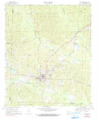
Historical Maps of Stephens Through Time
6 maps found
Featured Locations
Source Details
SourceU.S. Geological Survey
CopyrightPublic Domain