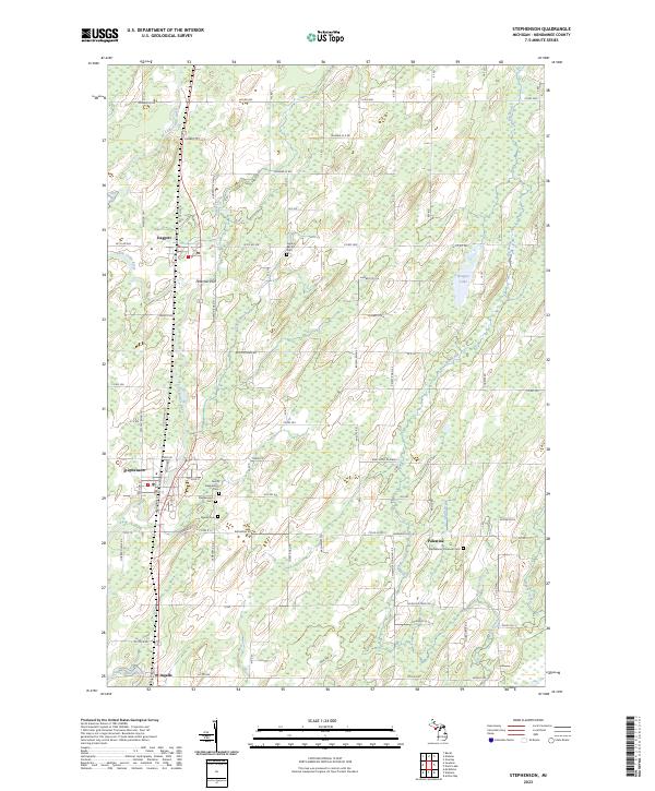
2023 Map of Stephenson
USGS Topo · Published 2023About this map
The Little Cedar River winds through this rural portion of Menominee County, anchoring a landscape defined by small agricultural settlements and a network of county roads. The village of Stephenson serves as a central hub, flanked by the smaller communities of Daggett, Palestine, and Ingalls. Local history is deeply etched into the land here, evidenced by the numerous burial grounds such as the Stephenson Cem, North Stephenson Cem, and the denominational Central Baptist Cem.
Find a feature on this map
58 named features on this map. Tap any name to fly to it.
Don’t see what you’re looking for? This feature index may not catch every label — zoom into the map to look around manually.
Map Details
Editions of this 2023 Stephenson Map
This is the sole edition of this map. No revisions or reprints were ever made.
Other maps of this area
1949 · Stephenson
USGS Topo · 1:48,000

1954 · Escanaba
USGS Topo · 1:250,000

1957 · Escanaba
USGS Topo · 1:250,000

1958 · Escanaba
USGS Topo · 1:250,000
1963 · Bark River
USGS Topo · 1:62,500
1963 · Powers
USGS Topo · 1:62,500
1963 · Cedar River
USGS Topo · 1:62,500
1963 · Stephenson
USGS Topo · 1:62,500
1981 · Marinette
USGS Topo · 1:100,000
1982 · Escanaba
USGS Topo · 1:100,000