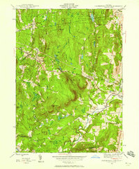
1945 Map of Stephentown Center
USGS Topo · Published 1958About this map
Stephentown Center and the surrounding hamlets of the Taconics are documented in this mid-century survey, showcasing a landscape defined by sharp elevation changes and narrow valley settlements. The village of Stephentown sits at the junction of Kinderhook Creek and Roaring Brook, serving as a focal point for local transport near the Massachusetts border. Higher elevations are marked by utilitarian landmarks of the era, such as the Seven Hill Firetower and an Airway Beacon atop Turner Mountain, indicating the area's importance for regional observation and navigation.
Find a feature on this map
38 named features on this map. Tap any name to fly to it.
Don’t see what you’re looking for? This feature index may not catch every label — zoom into the map to look around manually.
Map Details
Editions of this 1945 Stephentown Center Map
4 editions found
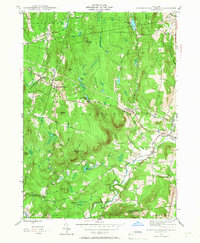
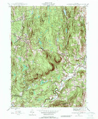
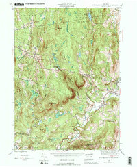
Other maps of this area

1888 · Berlin
USGS Topo · 1:62,500

1888 · Pittsfield
USGS Topo · 1:62,500

1890 · Pittsfield
USGS Topo · 1:62,500

1890 · Berlin
USGS Topo · 1:62,500

1893 · Troy
USGS Topo · 1:62,500

1893 · Pittsfield
USGS Topo · 1:62,500

1894 · Berlin
USGS Topo · 1:62,500

1894 · Pittsfield
USGS Topo · 1:62,500

1895 · Troy
USGS Topo · 1:62,500

1897 · Pittsfield
USGS Topo · 1:62,500