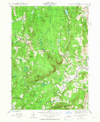
1945 Map of Stephentown Center
USGS Topo · Published 1966About this map
Stephentown Center and the surrounding hamlets of West Stephentown and Garfield are captured here as they appeared at the close of World War II. The landscape is defined by the high ridges of the Taconic range, including Johnson Hill and Turner Mountain, where an Airway Beacon stands as a reminder of early mid-century aviation infrastructure. Significant portions of the northern terrain are dedicated to the Capital District Forest and Game Refuge, while the southern reaches drop toward the Kinderhook Creek valley.
Find a feature on this map
38 named features on this map. Tap any name to fly to it.
Don’t see what you’re looking for? This feature index may not catch every label — zoom into the map to look around manually.
Map Details
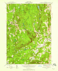
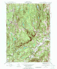
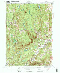
Editions of this 1945 Stephentown Center Map
4 editions found
Other maps of this area

1888 · Berlin
USGS Topo · 1:62,500

1888 · Pittsfield
USGS Topo · 1:62,500

1890 · Pittsfield
USGS Topo · 1:62,500

1890 · Berlin
USGS Topo · 1:62,500

1893 · Troy
USGS Topo · 1:62,500

1893 · Pittsfield
USGS Topo · 1:62,500

1894 · Berlin
USGS Topo · 1:62,500

1894 · Pittsfield
USGS Topo · 1:62,500

1895 · Troy
USGS Topo · 1:62,500

1897 · Pittsfield
USGS Topo · 1:62,500