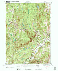
1945 Map of Stephentown Center
USGS Topo · Published 1989About this map
Stephentown Center and the surrounding highlands of eastern Rensselaer County are detailed in this 1945 survey, showcasing a landscape defined by steep ridges and narrow creek valleys. The topographic data reveals a network of small settlements like Dunham Hollow and West Stephentown connected by winding roads that follow the natural drainage of Kinderhook Creek and Tackawasick Creek. This era of mapping highlights the importance of elevated landmarks for navigation and safety, evidenced by the Seven Hill Fire Tower in the north and an Airway Beacon situated on Turner Mountain.
Find a feature on this map
38 named features on this map. Tap any name to fly to it.
Don’t see what you’re looking for? This feature index may not catch every label — zoom into the map to look around manually.
Map Details
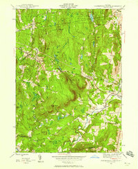
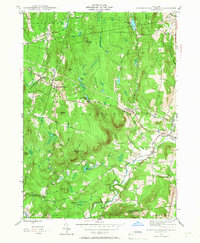
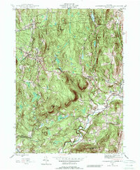
Editions of this 1945 Stephentown Center Map
4 editions found
Other maps of this area

1888 · Berlin
USGS Topo · 1:62,500

1888 · Pittsfield
USGS Topo · 1:62,500

1890 · Pittsfield
USGS Topo · 1:62,500

1890 · Berlin
USGS Topo · 1:62,500

1893 · Troy
USGS Topo · 1:62,500

1893 · Pittsfield
USGS Topo · 1:62,500

1894 · Berlin
USGS Topo · 1:62,500

1894 · Pittsfield
USGS Topo · 1:62,500

1895 · Troy
USGS Topo · 1:62,500

1897 · Pittsfield
USGS Topo · 1:62,500