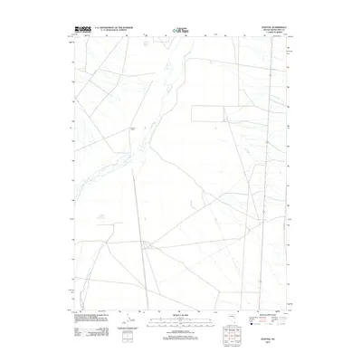
2012 Map of Steptoe
USGS Topo · Published 2012About this map
Duck Creek winds through this high-desert basin in White Pine County, anchoring a landscape shaped by ranching and transportation. The presence of Steptoe Ranch and the community of Steptoe reflects the agricultural history of the valley, while the Steptoe Siding indicates the area's historical reliance on the railroad for moving goods and people. Modern infrastructure like Old Hwy 93 and various county roads, including Co Rd-27, parallel the natural watercourses that define the region. In this arid environment, water management is evident through features like Steptoe Reservoir Number Two and California Canyon Spring. The map documents a sparse but deliberate network of human settlement and drainage, where First Creek and Third Creek feed into the central valley floor near these long-established ranching sites.
Find a feature on this map
11 named features on this map. Tap any name to fly to it.
Don’t see what you’re looking for? This feature index may not catch every label — zoom into the map to look around manually.
Map Details
Editions of this 2012 Steptoe Map
This is the sole edition of this map. No revisions or reprints were ever made.
Other maps of this area

1952 · Ely
USGS Topo · 1:125,000

1956 · Ely
USGS Topo · 1:250,000

1958 · McGill
USGS Topo · 1:24,000

1958 · McGill
USGS Topo · 1:62,500

1959 · Ely
USGS Topo · 1:250,000

1959 · Schell Peaks
USGS Topo · 1:62,500

1963 · Ely
USGS Topo · 1:250,000

1981 · Duck Creek Valley
USGS Topo · 1:24,000
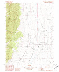
1982 · Monte Neva Hot Springs
USGS Topo · 1:24,000
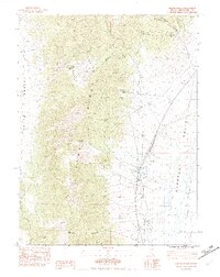
1982 · Steptoe Ranch
USGS Topo · 1:24,000