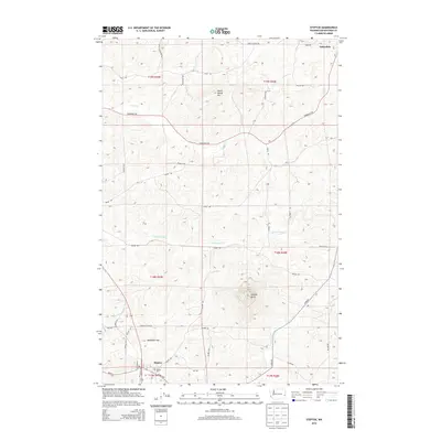
2014 Map of Steptoe
USGS Topo · Published 2014About this map
Steptoe Butte commands the southern portion of this landscape, a prominent geological feature rising above the undulating wheat fields of Whitman County. The map details a network of rural roads named for early local families, including Ripley Rd, Doneen Rd, and Shahan Rd, which connect the small settlements of Steptoe and Oakesdale. Near the southern boundary, the Bethel Cem and the surrounding area of Tannessee Flat reflect the generational agricultural heritage of the region. The drainage patterns of Thorn Cr and Cottonwood Cr emphasize the natural contours of the Palouse, while the curious name of Steam Shovel Hill to the north suggests a specific history of land movement or local industry. This survey provides a precise look at the rural infrastructure and land divisions between Township 17 North and Township 19 North during the early 21st century.
Find a feature on this map
47 named features on this map. Tap any name to fly to it.
Don’t see what you’re looking for? This feature index may not catch every label — zoom into the map to look around manually.
Map Details
Editions of this 2014 Steptoe Map
This is the sole edition of this map. No revisions or reprints were ever made.
Other maps of this area

1903 · Oakesdale
USGS Topo · 1:125,000

1905 · Oakesdale
USGS Topo · 1:125,000

1910 · Pullman
USGS Topo · 1:125,000

1955 · Pullman
USGS Topo · 1:250,000

1955 · Spokane
USGS Topo · 1:250,000

1958 · Spokane
USGS Topo · 1:250,000

1958 · Pullman
USGS Topo · 1:250,000

1964 · Diamond
USGS Topo · 1:24,000

1964 · Oakesdale
USGS Topo · 1:24,000

1964 · Malden
USGS Topo · 1:24,000