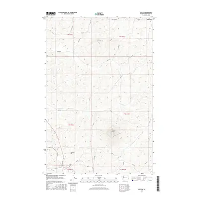
2017 Map of Steptoe
USGS Topo · Published 2017About this map
Steptoe Butte rises as a prominent landmark in this section of the Palouse, a terrain defined by its rolling loess hills and fertile agricultural draws. The landscape is preserved in part by Steptoe Butte National Park, which overlooks a dense network of country roads named for local families and early settlers, such as JF Mc Croskey Rd, Shahan Rd, and Ripley Rd. This network links the small communities of Steptoe and Oakesdale with the low-lying Tennessee Flat.
Find a feature on this map
43 named features on this map. Tap any name to fly to it.
Don’t see what you’re looking for? This feature index may not catch every label — zoom into the map to look around manually.
Map Details
Editions of this 2017 Steptoe Map
This is the sole edition of this map. No revisions or reprints were ever made.
Other maps of this area

1903 · Oakesdale
USGS Topo · 1:125,000

1905 · Oakesdale
USGS Topo · 1:125,000

1910 · Pullman
USGS Topo · 1:125,000

1955 · Pullman
USGS Topo · 1:250,000

1955 · Spokane
USGS Topo · 1:250,000

1958 · Spokane
USGS Topo · 1:250,000

1958 · Pullman
USGS Topo · 1:250,000

1964 · Diamond
USGS Topo · 1:24,000

1964 · Oakesdale
USGS Topo · 1:24,000

1964 · Malden
USGS Topo · 1:24,000