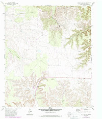
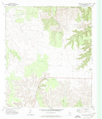
1972 Map of Sterling City NW
USGS Topo · Published 1988About this map
The high plateau of Sterling County is defined here by the deep incisions of Mackenzie Draw and the upper reaches of North Gasconades Creek. This 1972 survey, later revised in the 1980s, documents a landscape predominantly shaped by ranching and resource extraction. The network of pipelines and numerous scattered oil wells and wells indicate the area's industrial importance, while family-named landmarks like Garrett Windmill and Elliott Well provide valuable reference points for those tracing local land use. The topography is split between the flat, open reaches in the west and the more complex drainage systems of Willow Creek and Cox Hollow to the east, illustrating the transition from open range to the breaks of the Gasconades system. Local infrastructure is further marked by a Gravel Pit and various tanks, reflecting the essential water management and material needs of this West Texas environment.
Find a feature on this map
14 named features on this map. Tap any name to fly to it.
Don’t see what you’re looking for? This feature index may not catch every label — zoom into the map to look around manually.
Map Details
Editions of this 1972 Sterling City NW Map
2 editions found
Other maps of this area

1954 · Big Spring
USGS Topo · 1:250,000

1954 · San Angelo
USGS Topo · 1:250,000

1958 · San Angelo
USGS Topo · 1:250,000

1958 · Big Spring
USGS Topo · 1:250,000

1959 · McWhorter Mountain
USGS Topo · 1:24,000

1959 · Dead Indian Mountain
USGS Topo · 1:24,000

1963 · Cumbie Draw
USGS Topo · 1:24,000

1963 · Cumbie Draw NE
USGS Topo · 1:24,000

1963 · Buffalo Draw
USGS Topo · 1:24,000

1965 · San Angelo
USGS Topo · 1:250,000