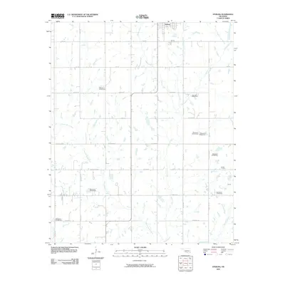
2009 Map of Sterling
USGS Topo · Published 2009About this map
Sterling anchors the northern boundary of this Stephens County landscape, where the agricultural grid is intersected by a complex network of prairie streams. The terrain is defined by the winding paths of Whisky Creek and Ninemile Beaver Creek, which flow through a region marked by numerous small-scale water management projects, such as the Oknoname 031003 Dam. To the southeast, the small settlement of Denton sits near its namesake Denton Cemetery, illustrating the localized nature of community centers in rural Oklahoma during this era.
Find a feature on this map
29 named features on this map. Tap any name to fly to it.
Don’t see what you’re looking for? This feature index may not catch every label — zoom into the map to look around manually.
Map Details
Editions of this 2009 Sterling Map
This is the sole edition of this map. No revisions or reprints were ever made.
Other maps of this area

1946 · Lawton
USGS Topo · 1:62,500

1949 · Arbuckle Hill
USGS Topo · 1:24,000

1949 · Cement
USGS Topo · 1:62,500

1949 · Elgin
USGS Topo · 1:24,000

1949 · Nellie
USGS Topo · 1:62,500

1955 · Lawton
USGS Topo · 1:250,000

1956 · Sterling
USGS Topo · 1:24,000

1956 · Ninemile Creek
USGS Topo · 1:24,000

1956 · Fletcher
USGS Topo · 1:24,000

1956 · Arbuckle Hill
USGS Topo · 1:24,000