
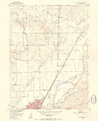
1951 Map of Sterling North
USGS Topo · Published 1952About this map
Sterling anchors this mid-century Logan County landscape, serving as a hub where the South Platte River and major railroads converge. The survey details the community's educational and social infrastructure, featuring the Sterling Junior College, the Fair Grounds, and Pioneer Park. Beyond the town limits, the plains are defined by an intricate irrigation system, including the Sterling No 1 Ditch and Pawnee Ditch, which supported the region's agricultural development.
Find a feature on this map
38 named features on this map. Tap any name to fly to it.
Don’t see what you’re looking for? This feature index may not catch every label — zoom into the map to look around manually.
Map Details
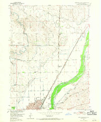
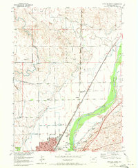
Editions of this 1951 Sterling North Map
4 editions found
Other maps of this area

1951 · Reiradon Hill
USGS Topo · 1:24,000

1951 · Sterling South
USGS Topo · 1:24,000

1951 · Galien
USGS Topo · 1:24,000

1951 · Atwood NE
USGS Topo · 1:24,000

1951 · Iliff
USGS Topo · 1:24,000

1951 · Atwood
USGS Topo · 1:24,000

1952 · Padroni
USGS Topo · 1:24,000

1954 · Sterling
USGS Topo · 1:250,000

1958 · Sterling
USGS Topo · 1:250,000
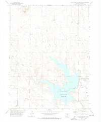
1978 · North Sterling Reservoir
USGS Topo · 1:24,000