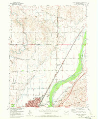
1951 Map of Sterling North
USGS Topo · Published 1972About this map
The South Platte River corridor north of Sterling reveals a landscape defined by an intricate network of irrigation and heavy rail infrastructure. This mid-century survey illustrates how water management shaped Logan County, with numerous canals like the Sterling No 1 Ditch, Lowline Ditch, and Bravo Ditch branching away from the river to support local agriculture. The northern growth of the city is anchored by Sterling Junior College and public spaces such as Pioneer Park, while the presence of the Union Pacific and Burlington Northern railroads highlights the area's role as a vital transportation hub.
Find a feature on this map
30 named features on this map. Tap any name to fly to it.
Don’t see what you’re looking for? This feature index may not catch every label — zoom into the map to look around manually.
Map Details
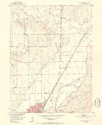
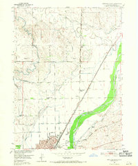
Editions of this 1951 Sterling North Map
4 editions found
Other maps of this area

1951 · Reiradon Hill
USGS Topo · 1:24,000

1951 · Sterling South
USGS Topo · 1:24,000

1951 · Sterling North
USGS Topo · 1:24,000

1951 · Galien
USGS Topo · 1:24,000

1951 · Atwood NE
USGS Topo · 1:24,000

1951 · Iliff
USGS Topo · 1:24,000

1951 · Atwood
USGS Topo · 1:24,000

1952 · Padroni
USGS Topo · 1:24,000

1954 · Sterling
USGS Topo · 1:250,000

1958 · Sterling
USGS Topo · 1:250,000