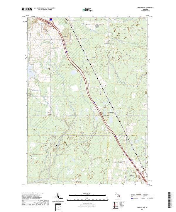
2023 Map of Sterling NW
USGS Topo · Published 2023About this map
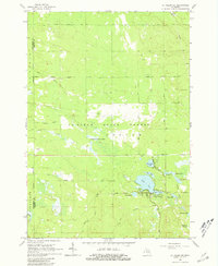
The East Branch Tittabawassee River and West Branch Rifle River anchor this landscape at the intersection of Ogemaw, Gladwin, and Arenac counties. The terrain is defined by the Cook Hills and individual peaks such as Kuhn Hill and Toltee Hill, which rise above the surrounding wetlands and creek systems. Modern infrastructure like the West Branch Community Airport sits alongside traces of the region's outdoor heritage, seen in routes like Dog Sled Trl and Loggers Trl.
Find a feature on this map
60 named features on this map. Tap any name to fly to it.
Don’t see what you’re looking for? This feature index may not catch every label — zoom into the map to look around manually.
Map Details
Editions of this 2023 Sterling NW Map
This is the sole edition of this map. No revisions or reprints were ever made.
Historical Maps of Moffatt Township Through Time
16 maps found
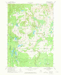
1965 Damon
Ogemaw County, MI
1965 Ogemaw Springs
Ogemaw County, MI
1965 Selkirk
Ogemaw County, MI
1965 St. Helen NE
Ogemaw County, MI
1968 Sage Lake
Ogemaw County, MI
1968 South Branch
Ogemaw County, MI
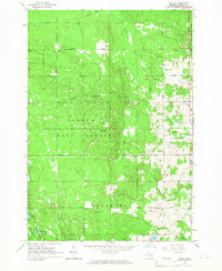
1968 Sterling NW
Ogemaw County, MI
1969 Edwards
Ogemaw County, MI
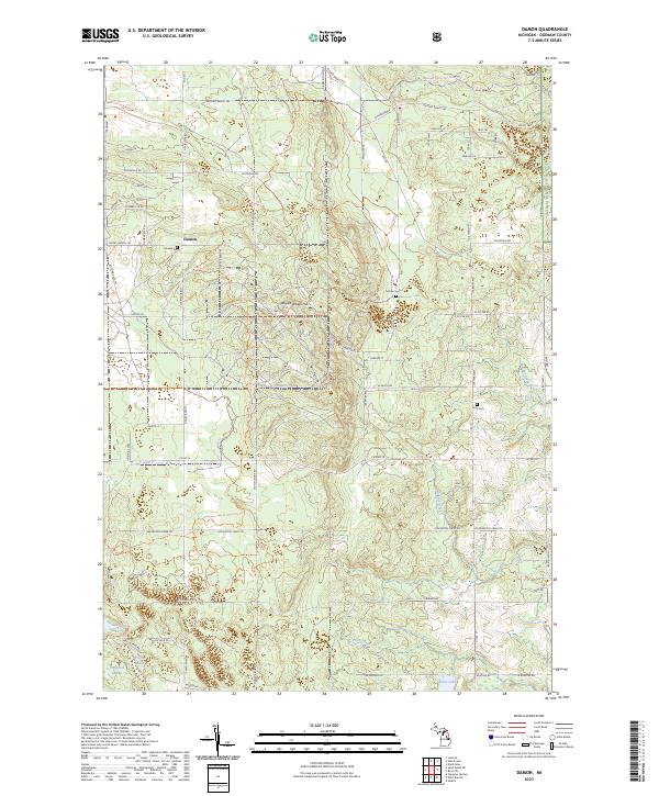
2023 Damon
Ogemaw County, MI
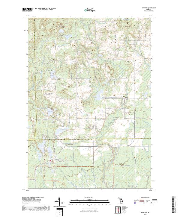
2023 Edwards
Ogemaw County, MI
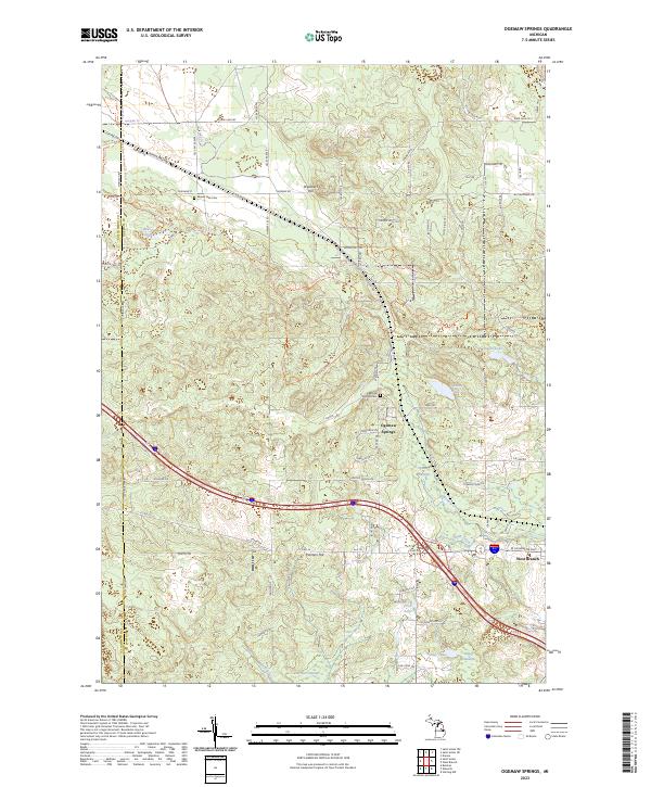
2023 Ogemaw Springs
Ogemaw County, MI
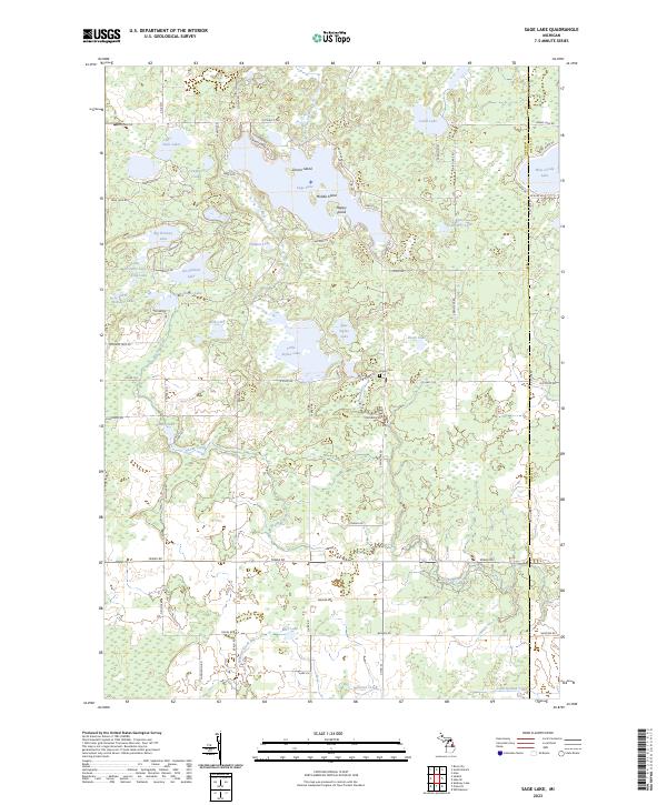
2023 Sage Lake
Ogemaw County, MI
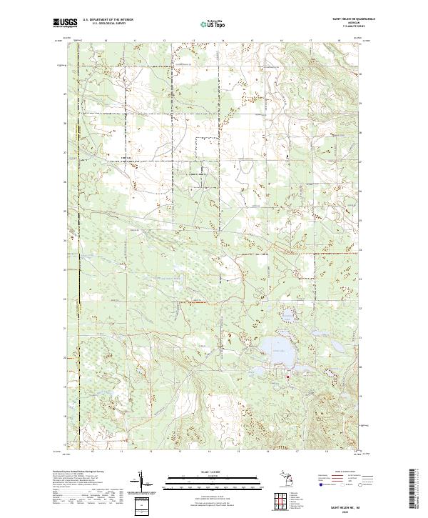
2023 Saint Helen NE
Ogemaw County, MI
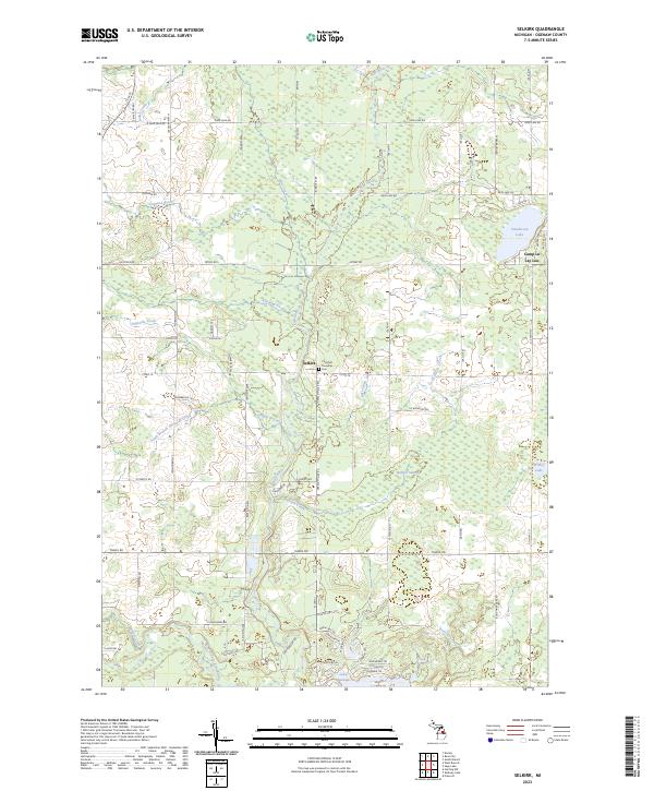
2023 Selkirk
Ogemaw County, MI
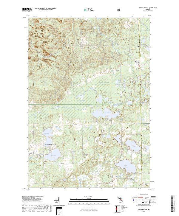
2023 South Branch
Ogemaw County, MI
2023 Sterling NW
Ogemaw County, MI