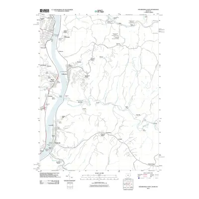
2010 Map of Steubenville East
USGS Topo · Published 2010About this map
The Ohio River corridor serves as the primary artery for this industrial and residential landscape, connecting long-established communities across the state line. On the West Virginia side, the city of Wellsburg shows its maritime and aviation character through the Wellsburg Wharf and the Wellsburg Seaplane Base, while the town of Follansbee occupies a narrow strip of land between the river and the rising hills. The topography is defined by numerous drainage systems like Harmon Creek, which features a series of flood control structures including Harmon Creek Structure Number Two Dam and Harmon Creek Structure Number Thirteen Dam.
Find a feature on this map
127 named features on this map. Tap any name to fly to it.
Don’t see what you’re looking for? This feature index may not catch every label — zoom into the map to look around manually.
Map Details
Editions of this 2010 Steubenville East Map
This is the sole edition of this map. No revisions or reprints were ever made.
Other maps of this area

1902 · Wheeling
USGS Topo · 1:62,500

1904 · Steubenville
USGS Topo · 1:62,500

1904 · Burgettstown
USGS Topo · 1:62,500

1906 · Burgettstown
USGS Topo · 1:62,500

1907 · Claysville
USGS Topo · 1:62,500

1935 · Wheeling
USGS Topo · 1:62,500

1935 · Steubenville
USGS Topo · 1:62,500

1942 · Wheeling
USGS Topo · 1:62,500

1942 · Steubenville
USGS Topo · 1:62,500

1951 · Canton
USGS Topo · 1:250,000